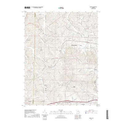
2017 Map of Eureka
USGS Topo · Published 2017About this map
The Meramec River flows through the southeastern corner of this Saint Louis County landscape, where suburban growth meets the wooded valleys of the eastern Ozark foothills. The terrain is defined by a complex network of hollows, including Spencer Harris Hollow, Rabbit Hollow, and Coon Hollow, which drain toward the river and its many tributaries. Established communities such as Wildwood, Grover, and Pond line the northern corridors, while the southern edge features the older rail-aligned settlements of Allenton and Glencoe.
Find a feature on this map
231 named features on this map. Tap any name to fly to it.
Don’t see what you’re looking for? This feature index may not catch every label — zoom into the map to look around manually.
Map Details
Editions of this 2017 Eureka Map
This is the sole edition of this map. No revisions or reprints were ever made.
Other maps of this area
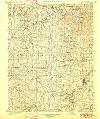
1901 · De Soto
USGS Topo · 1:125,000
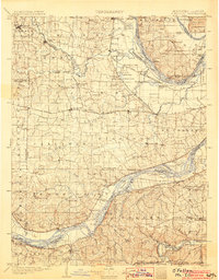
1903 · O'Fallon
USGS Topo · 1:125,000
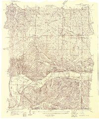
1931 · Manchester SE
USGS Topo · 1:24,000
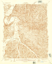
1931 · Pacific NE
USGS Topo · 1:24,000
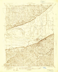
1932 · Manchester NE
USGS Topo · 1:24,000
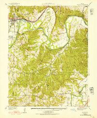
1937 · Pacific
USGS Topo · 1:24,000
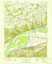
1937 · Weldon Spring
USGS Topo · 1:24,000
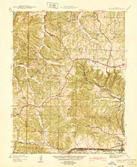
1940 · Eureka
USGS Topo · 1:24,000
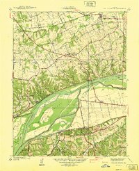
1940 · Weldon Spring
USGS Topo · 1:24,000
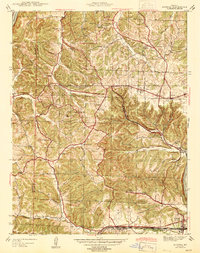
1944 · Eureka
USGS Topo · 1:24,000