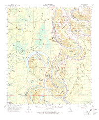
1960 Map of Eva
USGS Topo · Published 1983About this map
The Black River meanders through the lowlands of Catahoula and Concordia Parishes, defining a landscape shaped by shifting watercourses and the demands of the mid-century petroleum industry. In this 1960 survey, the region around Mayna and New Era is characterized by extensive brakes and sloughs, including the massive Honey Brake Lake and Gillespie Brake. These wetlands are intersected by an Old Railroad Grade, tracing a path through the timber and swamp north of Willingham Bayou.
Find a feature on this map
152 named features on this map. Tap any name to fly to it.
Don’t see what you’re looking for? This feature index may not catch every label — zoom into the map to look around manually.
Map Details
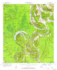
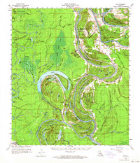
Editions of this 1960 Eva Map
3 editions found
Other maps of this area

1935 · Tooleys
USGS Topo · 1:62,500

1939 · Red Gum
USGS Topo · 1:62,500

1939 · Artonish
USGS Topo · 1:62,500

1939 · Deer Park
USGS Topo · 1:62,500

1940 · Marksville
USGS Topo · 1:62,500

1941 · Manifest
USGS Topo · 1:62,500

1941 · Jena
USGS Topo · 1:62,500

1941 · Voorhies
USGS Topo · 1:62,500

1941 · Buckeye
USGS Topo · 1:62,500

1941 · Tooleys
USGS Topo · 1:62,500