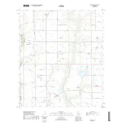
2018 Map of Evangeline
USGS Topo · Published 2018About this map
Evangeline and the surrounding prairies of Acadia Parish reveal a landscape defined by its rural road grid and quiet burial grounds. This 2018 survey documents a region where agriculture and local commerce intersect, most notably at the Di's Cajun Restaurant Airport and the settlement of Millerville. The terrain is drained by the meandering Bayou Pointe Aux Loups and Maurian Gully, which cut through the strictly rectilinear property lines. For family historians, the map is an essential resource for locating smaller, family-named landmarks and cemeteries, including Little Mamou Cem, Gatte Cem, and Riverside Cem. These sites, along with the Zaunbrecher Strip near Iota, offer a clear picture of the community’s development and its persistent French-Acadian heritage in the modern era.
Find a feature on this map
76 named features on this map. Tap any name to fly to it.
Don’t see what you’re looking for? This feature index may not catch every label — zoom into the map to look around manually.
Map Details
Editions of this 2018 Evangeline Map
This is the sole edition of this map. No revisions or reprints were ever made.
Other maps of this area

1946 · Mermentau
USGS Topo · 1:31,680

1946 · Jennings
USGS Topo · 1:31,680

1947 · Evangeline
USGS Topo · 1:31,680

1947 · Elton
USGS Topo · 1:31,680

1947 · Eunice
USGS Topo · 1:31,680

1947 · Hathaway
USGS Topo · 1:31,680

1947 · Iota
USGS Topo · 1:31,680

1947 · Basile
USGS Topo · 1:31,680

1949 · Estherwood
USGS Topo · 1:31,680

1949 · Basile
USGS Topo · 1:31,680