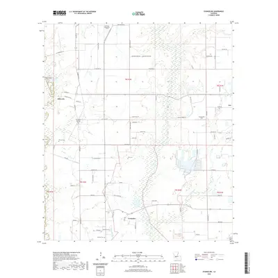
2020 Map of Evangeline
USGS Topo · Published 2020About this map
The lowlands of southwestern Louisiana define this area where Jefferson Davis Parish meets Acadia Parish. The landscape is dominated by the meandering course of Bayou des Cannes and Bayou Pointe Aux Loups, creating a wetland-rich environment punctuated by local settlements like Millerville, Evangeline, and the western edge of Iota. Numerous family-named roads, such as L K Guillory Rd and La Rue Smith Rd, crisscross the prairie, indicating a rural community structured around local landownership and agriculture.
Find a feature on this map
71 named features on this map. Tap any name to fly to it.
Don’t see what you’re looking for? This feature index may not catch every label — zoom into the map to look around manually.
Map Details
Editions of this 2020 Evangeline Map
This is the sole edition of this map. No revisions or reprints were ever made.
Other maps of this area

1946 · Mermentau
USGS Topo · 1:31,680

1946 · Jennings
USGS Topo · 1:31,680

1947 · Evangeline
USGS Topo · 1:31,680

1947 · Elton
USGS Topo · 1:31,680

1947 · Eunice
USGS Topo · 1:31,680

1947 · Hathaway
USGS Topo · 1:31,680

1947 · Iota
USGS Topo · 1:31,680

1947 · Basile
USGS Topo · 1:31,680

1949 · Estherwood
USGS Topo · 1:31,680

1949 · Basile
USGS Topo · 1:31,680