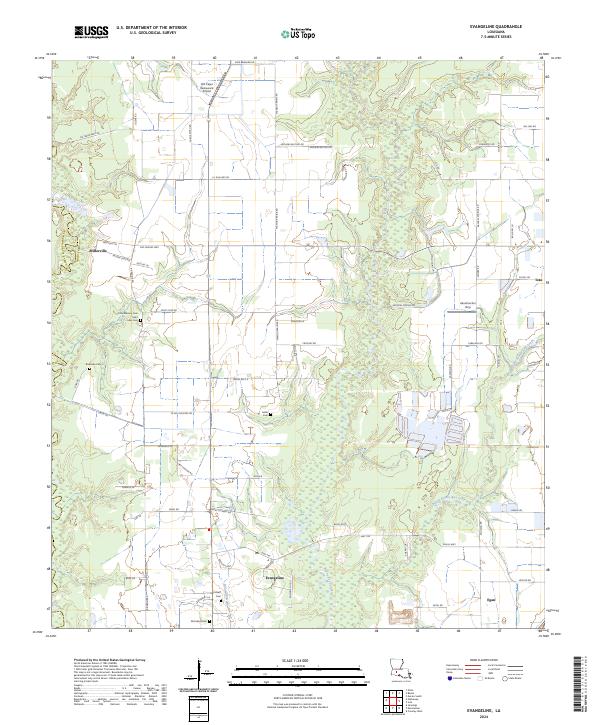
2024 Map of Evangeline
USGS Topo · Published 2024About this map
Bayou des Cannes meanders through the heart of this Acadia Parish landscape, defining the agricultural and drainage patterns of the prairie. The settlement of Evangeline sits at a crossroads near Maumary Gully, while Millerville and Egan occupy the western and eastern reaches respectively. The map reveals a high concentration of small family and community burial grounds, such as Little Mamou Cem, Gatte Cem, and McFarlain Cem, which provide essential touchpoints for genealogical research in this part of Louisiana. The transition from the wetland fringes of Bayou Pointe Aux Loups to the cultivated fields is marked by a dense network of local roads like Mamou Prairie Rd and Vie Terre Beau Rd, reflecting the enduring rural character of the region.
Find a feature on this map
77 named features on this map. Tap any name to fly to it.
Don’t see what you’re looking for? This feature index may not catch every label — zoom into the map to look around manually.
Map Details
Editions of this 2024 Evangeline Map
This is the sole edition of this map. No revisions or reprints were ever made.
Other maps of this area

1946 · Mermentau
USGS Topo · 1:31,680

1946 · Jennings
USGS Topo · 1:31,680

1947 · Evangeline
USGS Topo · 1:31,680

1947 · Elton
USGS Topo · 1:31,680

1947 · Eunice
USGS Topo · 1:31,680

1947 · Hathaway
USGS Topo · 1:31,680

1947 · Iota
USGS Topo · 1:31,680

1947 · Basile
USGS Topo · 1:31,680

1949 · Estherwood
USGS Topo · 1:31,680

1949 · Basile
USGS Topo · 1:31,680