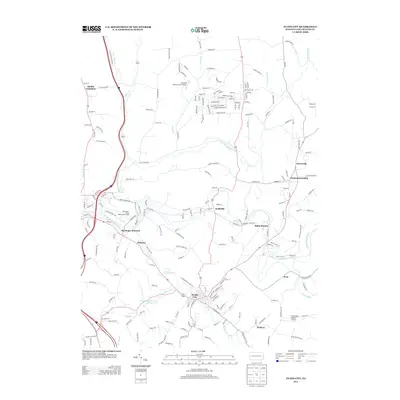
2013 Map of Evans City
USGS Topo · Published 2013About this map
Evans City serves as the focal point of this Butler County landscape, situated at the confluence of Breakneck Cr and Likens Run. The mapping reveals a detailed suburban and rural infrastructure, characterized by named settlements like Wahlville, Eidenau, and Harmony Junction. These nodes are connected by a dense network of local roads such as Salt Works Rd and Zehner School Rd, reflecting the area's development. Notable aviation landmarks including the Brennan Personal Use Airport and the uniquely named Pabst Blue Ribbon Airport appear alongside recreational spaces like Hartmanns Deep Valley Golf Course. Water management is represented by Evansburg Reservoir Number Two, while the winding course of Connoquenessing Cr and its tributaries define the local topography.
Find a feature on this map
197 named features on this map. Tap any name to fly to it.
Don’t see what you’re looking for? This feature index may not catch every label — zoom into the map to look around manually.
Map Details
Editions of this 2013 Evans City Map
This is the sole edition of this map. No revisions or reprints were ever made.
Other maps of this area

1906 · Sewickley
USGS Topo · 1:62,500

1908 · Sewickley
USGS Topo · 1:62,500

1908 · New Kensington
USGS Topo · 1:62,500

1908 · Zelienople
USGS Topo · 1:62,500

1909 · Butler
USGS Topo · 1:62,500

1910 · New Kensington
USGS Topo · 1:62,500

1910 · Zelienople
USGS Topo · 1:62,500

1911 · Butler
USGS Topo · 1:62,500

1950 · Valencia
USGS Topo · 1:24,000

1951 · Canton
USGS Topo · 1:250,000