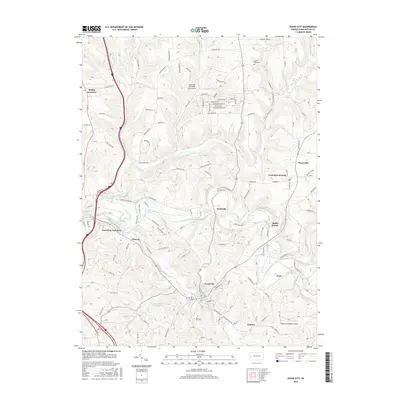
2016 Map of Evans City
USGS Topo · Published 2016About this map
Evans City serves as the central hub of this western Pennsylvania landscape, where the waters of Breakneck Creek and Connoquenessing Creek converge. The terrain is defined by its winding valleys and the intricate network of local roads such as Seneca School Rd and Salt Works Rd that connect the small settlements of Wahlville, Eidenau, and Harmony Junction. Local history is anchored by sites like Mount Nebo Cem and Evans City Cem, while the industrial and agricultural heritage of the region is reflected in named points like Buhls Station and Petersville. Unique landmarks, including the curiously named Pabst Blue Ribbon Airport and the Evansburg Reservoir Number Two, provide specific points of interest for those tracing the modern footprint of these communities. The map detail highlights how residential expansion has moved along corridors like Shannon Rd, juxtaposing older rural routes with newer developments.
Find a feature on this map
115 named features on this map. Tap any name to fly to it.
Don’t see what you’re looking for? This feature index may not catch every label — zoom into the map to look around manually.
Map Details
Editions of this 2016 Evans City Map
This is the sole edition of this map. No revisions or reprints were ever made.
Other maps of this area

1906 · Sewickley
USGS Topo · 1:62,500

1908 · Sewickley
USGS Topo · 1:62,500

1908 · New Kensington
USGS Topo · 1:62,500

1908 · Zelienople
USGS Topo · 1:62,500

1909 · Butler
USGS Topo · 1:62,500

1910 · New Kensington
USGS Topo · 1:62,500

1910 · Zelienople
USGS Topo · 1:62,500

1911 · Butler
USGS Topo · 1:62,500

1950 · Valencia
USGS Topo · 1:24,000

1951 · Canton
USGS Topo · 1:250,000