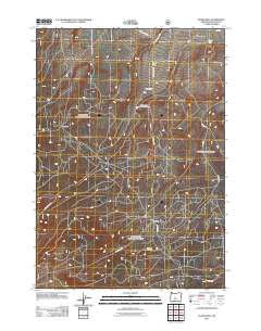
2011 Map of Evans Well
USGS Topo · Published 2011About this map
Millican Valley characterizes this high-desert landscape in Deschutes County, defined by a complex network of forest roads and historic encampments. Remote water sources like Evans Well and Smith Well are the primary landmarks in an area dominated by volcanic features and timber management routes. This 2011 survey documents a cluster of sites including Camp One, Camp Two, and the Camp II Trailhead, suggesting a region heavily utilized for forestry and recreation within the national forest system. The road network is particularly dense here, with named routes like Orphan Butte RD, Cinder Hill RD, and Lava Bed RD providing access to the various cinder and lava formations that mark the local geology. Researchers can trace the connection between these specialized camps and the expansive trail system, such as the 14 Trail Head, which serves as a gateway to the more remote sections of the valley.
Find a feature on this map
18 named features on this map. Tap any name to fly to it.
Don’t see what you’re looking for? This feature index may not catch every label — zoom into the map to look around manually.
Map Details
Editions of this 2011 Evans Well Map
This is the sole edition of this map. No revisions or reprints were ever made.
Other maps of this area

1931 · Newberry Crater
USGS Topo · 1:125,000

1935 · Newberry Crater
USGS Topo · 1:125,000

1955 · Crescent
USGS Topo · 1:250,000

1957 · Crescent
USGS Topo · 1:250,000

1958 · Crescent
USGS Topo · 1:250,000
1967 · Horse Ridge
USGS Topo · 1:24,000
1967 · Evans Well
USGS Topo · 1:24,000
1967 · Fuzztail Butte
USGS Topo · 1:24,000
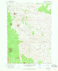
1967 · Kelsey Butte
USGS Topo · 1:24,000
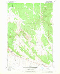
1967 · Millican
USGS Topo · 1:24,000