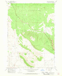
1967 Map of Horse Ridge
USGS Topo · Published 1969About this map
Horse Ridge dominates this high desert landscape east of Bend, stretching across a terrain defined by ancient geological formations and arid basin floors. In the late 1960s, this area remained largely undeveloped, characterized by wide geographic features like the Badlands to the north and the expansive Millican Valley to the south. The presence of Dry River and isolated water sources such as Dyer Well and Dry Well highlights the region's reliance on scarce water points for cattle or early homesteading. Traces of human activity are concentrated along the primary roadway and a network of primitive routes, including a Jeep Trail cutting through Golden Basin. Public land management is evident in the western portion of the sheet, which encompasses a section of the Deschutes National Forest, while various Borrow Pits suggest road maintenance and resource extraction near the Horse Ridge Summit.
Find a feature on this map
14 named features on this map. Tap any name to fly to it.
Don’t see what you’re looking for? This feature index may not catch every label — zoom into the map to look around manually.
Map Details
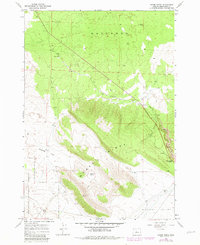
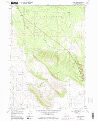
Editions of this 1967 Horse Ridge Map
3 editions found
Other maps of this area

1926 · Bend
USGS Topo · 1:125,000

1929 · Bend
USGS Topo · 1:125,000

1931 · Newberry Crater
USGS Topo · 1:125,000

1935 · Newberry Crater
USGS Topo · 1:125,000

1955 · Crescent
USGS Topo · 1:250,000

1955 · Bend
USGS Topo · 1:250,000

1957 · Crescent
USGS Topo · 1:250,000

1957 · Bend
USGS Topo · 1:250,000

1958 · Crescent
USGS Topo · 1:250,000

1958 · Bend
USGS Topo · 1:250,000