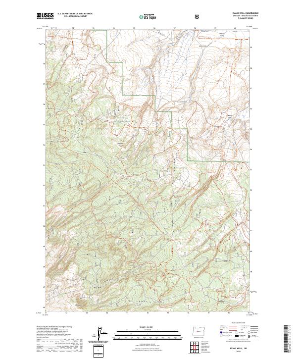
2023 Map of Evans Well
USGS Topo · Published 2023About this map
Deschutes National Forest encompasses the majority of this landscape, where the high desert meets the northern slopes of the Newberry Volcano monument. The terrain is defined by a series of dry drainages, including Huudl Draw, Wacam Draw, and Tepee Draw, which carve through the volcanic soils toward the Millican Valley in the northeast. This 2023 survey illustrates a modern recreation-focused landscape, dominated by an extensive network of off-highway vehicle trails such as Ohv #24 Trl and Ohv #19 Trl. To the south, Washed Butte stands as a prominent landmark above the intricate system of canyons and ridges. The map captures the specialized transportation network of the modern forest, where historical fire roads and timber access routes have transitioned into a managed system of technical trails spanning Township 20 and 21 South.
Find a feature on this map
51 named features on this map. Tap any name to fly to it.
Don’t see what you’re looking for? This feature index may not catch every label — zoom into the map to look around manually.
Map Details
Editions of this 2023 Evans Well Map
This is the sole edition of this map. No revisions or reprints were ever made.
Other maps of this area

1931 · Newberry Crater
USGS Topo · 1:125,000

1935 · Newberry Crater
USGS Topo · 1:125,000

1955 · Crescent
USGS Topo · 1:250,000

1957 · Crescent
USGS Topo · 1:250,000

1958 · Crescent
USGS Topo · 1:250,000
1967 · Horse Ridge
USGS Topo · 1:24,000
1967 · Evans Well
USGS Topo · 1:24,000
1967 · Fuzztail Butte
USGS Topo · 1:24,000
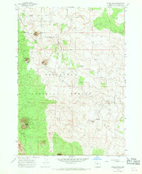
1967 · Kelsey Butte
USGS Topo · 1:24,000
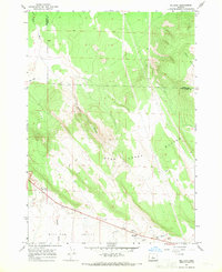
1967 · Millican
USGS Topo · 1:24,000