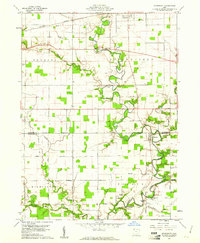
1960 Map of Evansport
USGS Topo · Published 1961About this map
The Tiffin River meanders across this landscape at the boundary of Williams Co and Defiance Co, anchoring a rural region defined by dispersed family farms and small river-adjacent communities. In Evansport, the dense clustering of structures and the Evansport Cem reflect a settled agricultural hub, supported by the Township High Sch and a local Townhall. To the north, Stryker marks a significant rail crossing where the New York Central railroad corridor parallels a modern Pipeline, illustrating the evolution of transport through Northwest Ohio.
Find a feature on this map
46 named features on this map. Tap any name to fly to it.
Don’t see what you’re looking for? This feature index may not catch every label — zoom into the map to look around manually.
Map Details
Editions of this 1960 Evansport Map
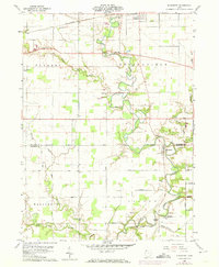
2 editions found
Other maps of this area

1907 · Defiance
USGS Topo · 1:62,500

1909 · Defiance
USGS Topo · 1:62,500

1913 · Alvordton
USGS Topo · 1:62,500

1914 · Pioneer
USGS Topo · 1:62,500

1914 · Bryan
USGS Topo · 1:62,500

1943 · Bryan
USGS Topo · 1:62,500

1944 · Pioneer
USGS Topo · 1:62,500

1944 · Alvordton
USGS Topo · 1:62,500

1953 · Fort Wayne
USGS Topo · 1:250,000

1956 · Fort Wayne
USGS Topo · 1:250,000