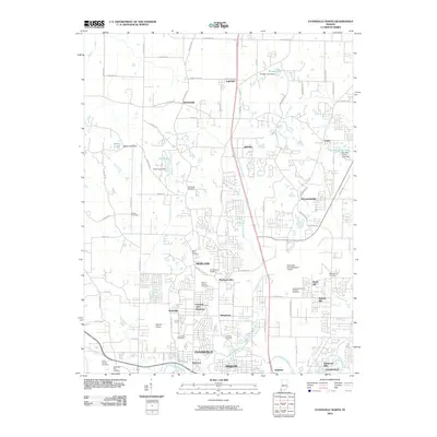
2010 Map of Evansville North
USGS Topo · Published 2010About this map
Evansville expands northward toward the Pigeon and Knight townships in this 2010 survey, showcasing a landscape where suburban residential growth meets established rural settlements. The map highlights significant aviation infrastructure, including the Evansville Dress Regional Airport and the smaller Skylane Airport near Kratzville. For genealogists, the area is notably dense with burial grounds, ranging from the large Locust Hill Cemetery and Saint Joseph Cemetery in the south to the Oak Ridge Cemetery further north. Water features such as Little Pigeon Creek and Locust Creek meander through the terrain, punctuated by several small reservoirs like Morgan Lake and Kahr Lake. The northern reaches maintain a more village-oriented character with the presence of Inglefield, Darmstadt, and McCutchanville.
Find a feature on this map
90 named features on this map. Tap any name to fly to it.
Don’t see what you’re looking for? This feature index may not catch every label — zoom into the map to look around manually.
Map Details
Editions of this 2010 Evansville North Map
This is the sole edition of this map. No revisions or reprints were ever made.
Other maps of this area

1901 · Haubstadt
USGS Topo · 1:62,500

1902 · Ditney
USGS Topo · 1:125,000

1902 · Boonville
USGS Topo · 1:62,500

1903 · Haubstadt
USGS Topo · 1:62,500

1903 · Patoka
USGS Topo · 1:125,000

1905 · Newburg
USGS Topo · 1:62,500

1914 · Henderson
USGS Topo · 1:48,000

1916 · Henderson
USGS Topo · 1:62,500

1952 · Evansville
USGS Topo · 1:24,000

1952 · Newburgh
USGS Topo · 1:24,000