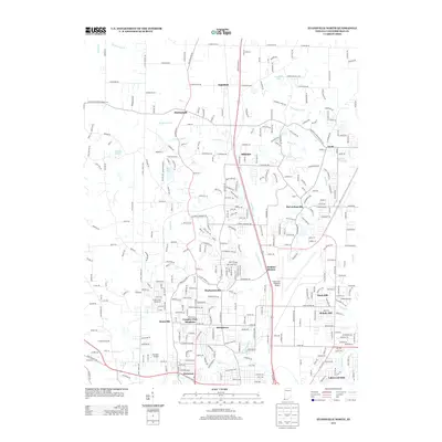
2013 Map of Evansville North
USGS Topo · Published 2013About this map
Evansville Regional Airport dominates the eastern central landscape of this Indiana study, surrounded by a transition from suburban development to rural homesteads. The northern reaches are defined by a network of drainage systems like Maidlow Ditch and Schlensker Ditch, which feed into the meandering Little Pigeon Creek. Numerous distinct communities are mapped throughout the territory, including Inglefield and Darmstadt to the north, and McCutchanville to the east. As development moves south toward the city center, denser residential clusters emerge at Stringtown, Melody Hill, and Kratzville. The presence of both the regional airport and the smaller Skylane Airport highlights the area's importance as an aviation and transport hub for Vanderburgh County. Industrial and recreational spaces appear alongside residential growth, evidenced by Country Club Meadows and several small lakes like Morgan Lake and Bittner Lake.
Find a feature on this map
57 named features on this map. Tap any name to fly to it.
Don’t see what you’re looking for? This feature index may not catch every label — zoom into the map to look around manually.
Map Details
Editions of this 2013 Evansville North Map
This is the sole edition of this map. No revisions or reprints were ever made.
Other maps of this area

1901 · Haubstadt
USGS Topo · 1:62,500

1902 · Ditney
USGS Topo · 1:125,000

1902 · Boonville
USGS Topo · 1:62,500

1903 · Haubstadt
USGS Topo · 1:62,500

1903 · Patoka
USGS Topo · 1:125,000

1905 · Newburg
USGS Topo · 1:62,500

1914 · Henderson
USGS Topo · 1:48,000

1916 · Henderson
USGS Topo · 1:62,500

1952 · Evansville
USGS Topo · 1:24,000

1952 · Newburgh
USGS Topo · 1:24,000