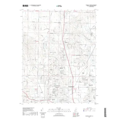
2019 Map of Evansville North
USGS Topo · Published 2019About this map
Evansville expands northward into the surrounding suburbs and agricultural uplands in this modern 2019 survey. The landscape is characterized by a dense network of residential communities and historic church sites, including Highland, McCutchanville, and Darmstadt. Significant transportation infrastructure anchors the eastern half of the map, notably the Evansville Regional Airport and the smaller Skylane Airport. Drainage patterns throughout the quadrangle are defined by the winding course of Little Pigeon Creek and Pigeon Creek, which cut through the varied topography. For genealogists, the map is particularly useful for identifying established burial grounds such as Saint Peters United Church of Christ Cem and Sunset Memorial Gardens Cem, which remain as core landmarks in the local community fabric alongside newer developments like Melody Hill and Country Club Meadows.
Find a feature on this map
67 named features on this map. Tap any name to fly to it.
Don’t see what you’re looking for? This feature index may not catch every label — zoom into the map to look around manually.
Map Details
Editions of this 2019 Evansville North Map
This is the sole edition of this map. No revisions or reprints were ever made.
Other maps of this area

1901 · Haubstadt
USGS Topo · 1:62,500

1902 · Ditney
USGS Topo · 1:125,000

1902 · Boonville
USGS Topo · 1:62,500

1903 · Haubstadt
USGS Topo · 1:62,500

1903 · Patoka
USGS Topo · 1:125,000

1905 · Newburg
USGS Topo · 1:62,500

1914 · Henderson
USGS Topo · 1:48,000

1916 · Henderson
USGS Topo · 1:62,500

1952 · Evansville
USGS Topo · 1:24,000

1952 · Newburgh
USGS Topo · 1:24,000