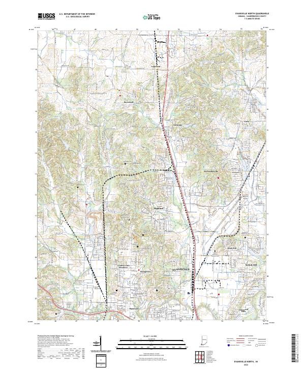
2022 Map of Evansville North
USGS Topo · Published 2022About this map
Evansville expands northward in this contemporary survey, showing the residential and educational development of the suburbs. The landscape is a mix of established neighborhoods and growing communities like Highland, McCutchanville, and Darmstadt. This area is particularly dense with historic burial grounds, including the Saint Peters United Church of Christ Cem and Sunset Memorial Gardens Cem, which provide significant points of interest for genealogists. The industrial and transportation identity of the region is anchored by the Evansville Regional Airport and the CSX Transportation rail lines that thread through the northern reaches near Inglefield. Natural drainage for the undulating terrain is provided by Little Pigeon Creek and Pigeon Creek, which wind toward the urban center. Educational growth is marked by the Ivy Tech Community College Evansville Campus, serving as a modern landmark among the traditional church and school locations that have long defined these Vanderburgh County communities.
Find a feature on this map
273 named features on this map. Tap any name to fly to it.
Don’t see what you’re looking for? This feature index may not catch every label — zoom into the map to look around manually.
Map Details
Editions of this 2022 Evansville North Map
This is the sole edition of this map. No revisions or reprints were ever made.
Other maps of this area

1901 · Haubstadt
USGS Topo · 1:62,500

1902 · Ditney
USGS Topo · 1:125,000

1902 · Boonville
USGS Topo · 1:62,500

1903 · Haubstadt
USGS Topo · 1:62,500

1903 · Patoka
USGS Topo · 1:125,000

1905 · Newburg
USGS Topo · 1:62,500

1914 · Henderson
USGS Topo · 1:48,000

1916 · Henderson
USGS Topo · 1:62,500

1952 · Evansville
USGS Topo · 1:24,000

1952 · Newburgh
USGS Topo · 1:24,000