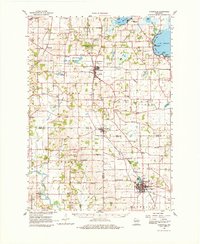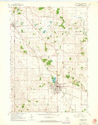
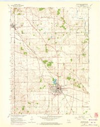
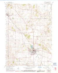
1961 Map of Evansville
USGS Topo · Published 1964About this map
Evansville serves as the primary hub of this early 1960s landscape, positioned at the confluence of several vital watercourses including Allen Creek and Spring Creek. The town's grid is well-established, anchored by Lake Leota on its northern edge and the Chicago and North Western railroad which cuts diagonally through the territory. Further north, the village of Brooklyn marks the boundary between Dane and Green counties, while the small settlement of Union and the rural junction at Butts Corners illustrate the dispersed agricultural pattern of the era.
Find a feature on this map
24 named features on this map. Tap any name to fly to it.
Don’t see what you’re looking for? This feature index may not catch every label — zoom into the map to look around manually.
Map Details
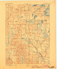
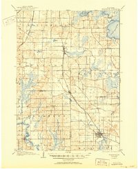
Editions of this 1961 Evansville Map
3 editions found
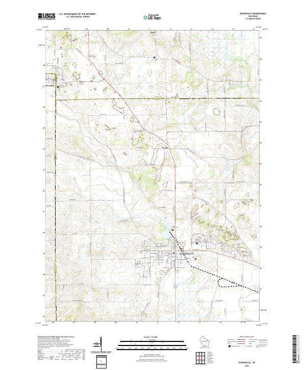
Historical Maps of Evansville Through Time
6 maps found