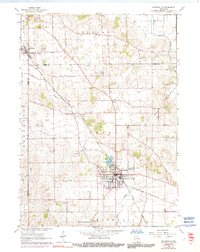
1961 Map of Evansville
USGS Topo · Published 1991About this map
Evansville serves as the primary hub of this south-central Wisconsin landscape, its residential grid centered near the shores of Lake Leota and the prominent Maple Hill Cemetery. The town's industrial and logistical footprint is defined by the Chicago and North Western railroad line, which cuts diagonally through the region, linking the community with Brooklyn to the northwest. Between these settlements, the land is marked by small agricultural hamlets like Union and Butts Corners, alongside numerous gravel pits and quarries that speak to the local geology.
Find a feature on this map
29 named features on this map. Tap any name to fly to it.
Don’t see what you’re looking for? This feature index may not catch every label — zoom into the map to look around manually.
Map Details
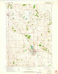
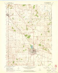
Editions of this 1961 Evansville Map
3 editions found
Other maps of this area

1889 · Evansville
USGS Topo · 1:62,500

1890 · Stoughton
USGS Topo · 1:62,500

1891 · Janesville
USGS Topo · 1:62,500

1893 · Janesville
USGS Topo · 1:62,500

1893 · Brodhead
USGS Topo · 1:62,500

1894 · Evansville
USGS Topo · 1:62,500

1906 · Evansville
USGS Topo · 1:62,500

1954 · Rockford
USGS Topo · 1:250,000

1955 · Rockford
USGS Topo · 1:250,000

1958 · Rockford
USGS Topo · 1:250,000