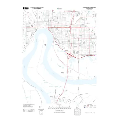
2013 Map of Evansville South
USGS Topo · Published 2013About this map
The Ohio River meanders through this landscape, defining the state boundary and carving out Green River Island. The urban grid of Evansville is well-established, featuring significant civic landmarks such as Roberts Municipal Stadium and the Wesselman Park Golf Course on the eastern edge. Local neighborhoods like White City and Forest Hill sit near the riverbanks and hills, while the drainage patterns of the floodplain are visible through a complex network of backwaters including Bee Slough, Deep Slough, and Mound Slough.
Find a feature on this map
230 named features on this map. Tap any name to fly to it.
Don’t see what you’re looking for? This feature index may not catch every label — zoom into the map to look around manually.
Map Details
Editions of this 2013 Evansville South Map
This is the sole edition of this map. No revisions or reprints were ever made.
Other maps of this area

1901 · Haubstadt
USGS Topo · 1:62,500

1902 · Ditney
USGS Topo · 1:125,000

1902 · Boonville
USGS Topo · 1:62,500

1903 · Haubstadt
USGS Topo · 1:62,500

1903 · Patoka
USGS Topo · 1:125,000

1905 · Newburg
USGS Topo · 1:62,500

1914 · Henderson
USGS Topo · 1:48,000

1916 · Henderson
USGS Topo · 1:62,500

1951 · Spottsville
USGS Topo · 1:24,000

1952 · Evansville
USGS Topo · 1:24,000