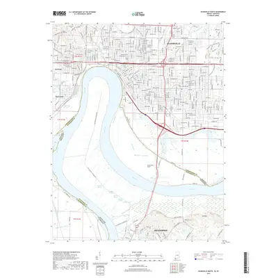
2019 Map of Evansville South
USGS Topo · Published 2019About this map
The Ohio River carves a deep bend through this borderland, where the urban grid of Evansville, Indiana, meets the bottomlands of Kentucky. This 2019 survey documents the complex hydrology of the river's floodplains, marked by numerous named backwaters such as Bee Slough, Deep Slough, and Atkinson Slough. The northern section is dominated by the dense residential and industrial reaches of Evansville, containing notable local landmarks like Oak Hill Cem and Oates Memorial Park. To the south, the landscape shifts dramatically into the hills and sloughs of Henderson, Kentucky.
Find a feature on this map
252 named features on this map. Tap any name to fly to it.
Don’t see what you’re looking for? This feature index may not catch every label — zoom into the map to look around manually.
Map Details
Editions of this 2019 Evansville South Map
This is the sole edition of this map. No revisions or reprints were ever made.
Other maps of this area

1901 · Haubstadt
USGS Topo · 1:62,500

1902 · Ditney
USGS Topo · 1:125,000

1902 · Boonville
USGS Topo · 1:62,500

1903 · Haubstadt
USGS Topo · 1:62,500

1903 · Patoka
USGS Topo · 1:125,000

1905 · Newburg
USGS Topo · 1:62,500

1914 · Henderson
USGS Topo · 1:48,000

1916 · Henderson
USGS Topo · 1:62,500

1951 · Spottsville
USGS Topo · 1:24,000

1952 · Evansville
USGS Topo · 1:24,000