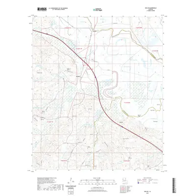
2020 Map of Evelyn
USGS Topo · Published 2020About this map
Bayou Pierre and the Flat River dominate this landscape where the boundaries of Red River, De Soto, and Natchitoches parishes converge. The terrain is a complex network of waterways and wetlands, including Teloque Lake, Chenard Lake, and Stumpy Lake, set against the rising ground of the Dolette Hills. These water bodies and brakes, such as Louies Brake and Dolet Brake, indicate a floodplain environment where local life has long centered on the crossings and family-named roads that navigate the marshes.
Find a feature on this map
78 named features on this map. Tap any name to fly to it.
Don’t see what you’re looking for? This feature index may not catch every label — zoom into the map to look around manually.
Map Details
Editions of this 2020 Evelyn Map
This is the sole edition of this map. No revisions or reprints were ever made.
Other maps of this area
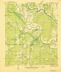
1938 · Chemard Lake
USGS Topo · 1:31,680
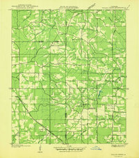
1938 · Hollis Creek
USGS Topo · 1:31,680
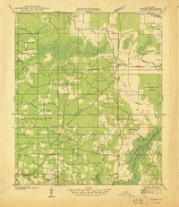
1938 · Allen
USGS Topo · 1:31,680
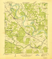
1938 · Lake End
USGS Topo · 1:31,680
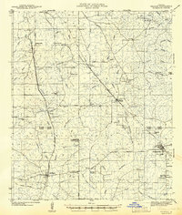
1941 · Pelican
USGS Topo · 1:62,500
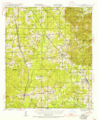
1943 · Pleasant Hill
USGS Topo · 1:62,500
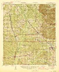
1944 · Pleasant Hill
USGS Topo · 1:62,500
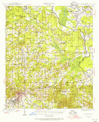
1945 · Mansfield
USGS Topo · 1:62,500
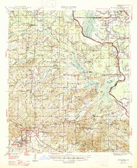
1947 · Mansfield
USGS Topo · 1:62,500
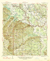
1947 · Hanna
USGS Topo · 1:62,500