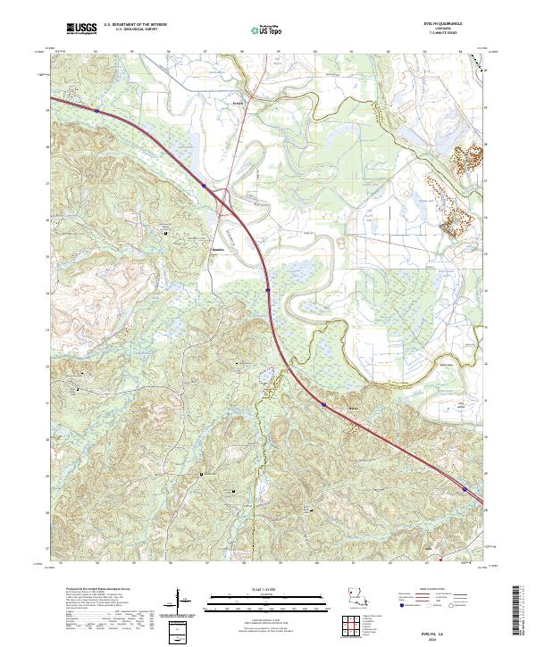
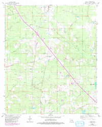
2024 Map of Evelyn
USGS Topo · Published 2024About this map
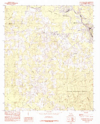
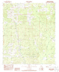
The Dolette Hills rise above a complex landscape of brakes and bayous along the borders of De Soto, Red River, and Natchitoches Parishes. This region is characterized by an intricate water network including Bayou Pierre, West Branch Dolet Bayou, and Louies Brake, which together define the drainage patterns of northwestern Louisiana. Small settlements like Evelyn, Rambin, and Harris are distributed along the road networks, while the southern edge features the community of Ajax.
Find a feature on this map
81 named features on this map. Tap any name to fly to it.
Don’t see what you’re looking for? This feature index may not catch every label — zoom into the map to look around manually.
Map Details
Editions of this 2024 Evelyn Map
This is the sole edition of this map. No revisions or reprints were ever made.
Historical Maps of Evelyn Through Time
28 maps found

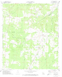
1938 Chemard Lake
De Soto Parish, LA

1941 Pelican
De Soto Parish, LA
1972 Keatchie
De Soto Parish, LA
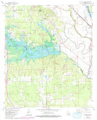
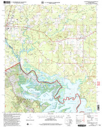
1980 Bayou Pierre Lake
De Soto Parish, LA
1980 Clear Lake
De Soto Parish, LA
1980 Holly
De Soto Parish, LA
1980 Wallace Lake
De Soto Parish, LA
1984 Hunter
De Soto Parish, LA
1984 Logansport East
De Soto Parish, LA
1984 Logansport West
De Soto Parish, LA
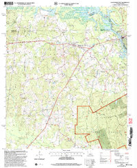
1985 Shreveport South
De Soto Parish, LA
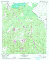
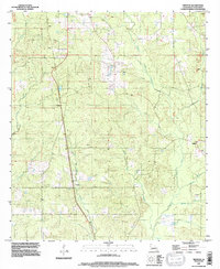
1989 Evelyn
De Soto Parish, LA
1989 Pelican
De Soto Parish, LA
1989 Trenton
De Soto Parish, LA
1995 Trenton
De Soto Parish, LA
2003 Logansport East
De Soto Parish, LA
2003 Logansport West
De Soto Parish, LA
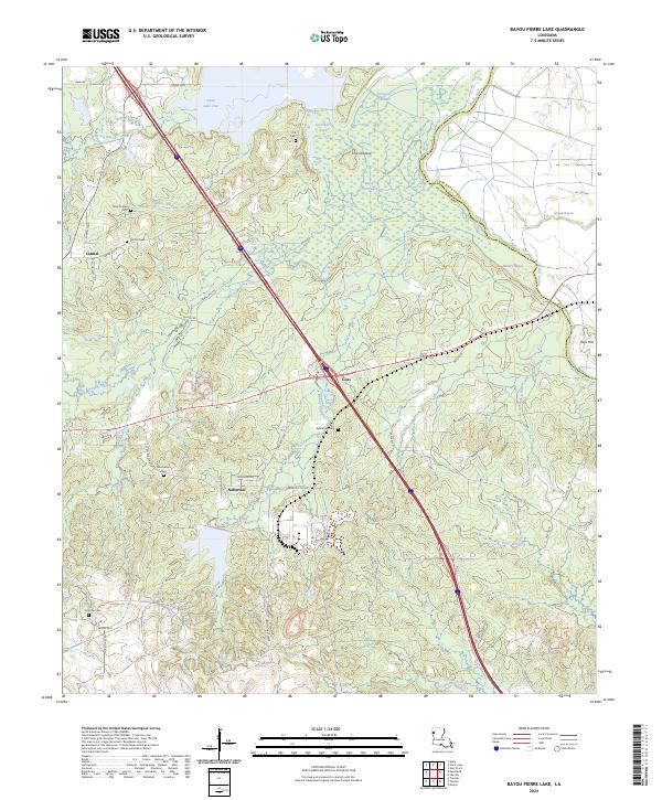
2024 Bayou Pierre Lake
De Soto Parish, LA
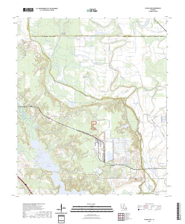
2024 Clear Lake
De Soto Parish, LA
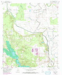
2024 Evelyn
De Soto Parish, LA
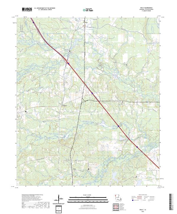
2024 Holly
De Soto Parish, LA
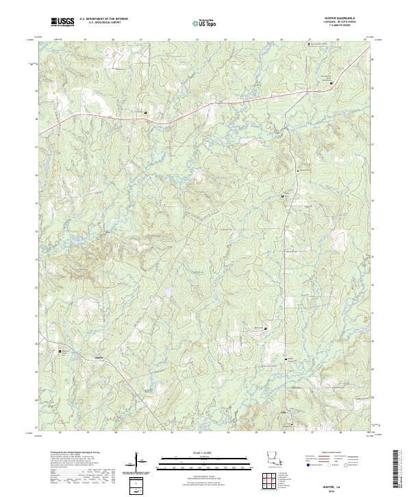
2024 Hunter
De Soto Parish, LA
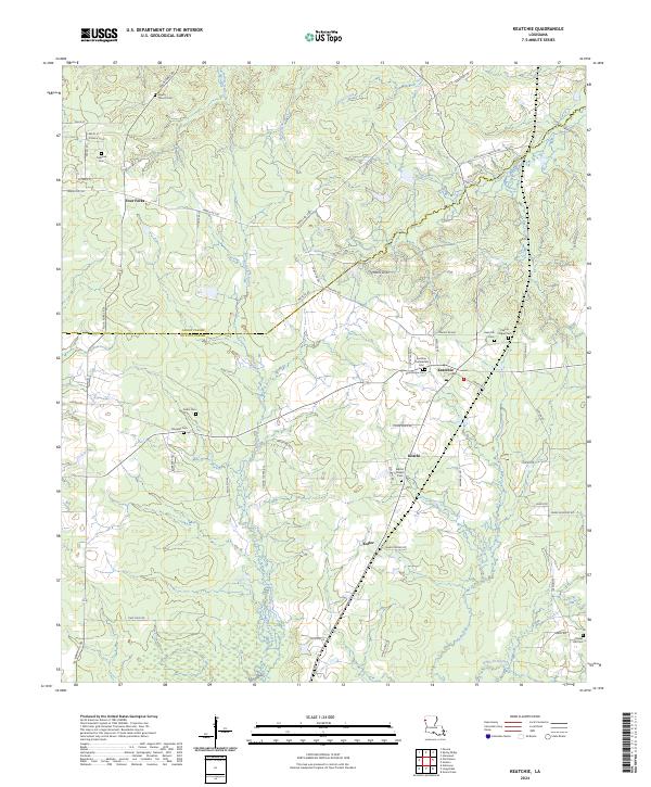
2024 Keatchie
De Soto Parish, LA
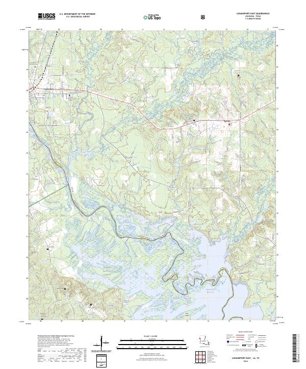
2024 Logansport East
De Soto Parish, LA
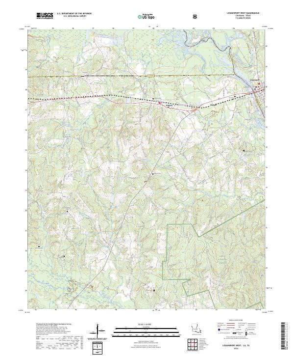
2024 Logansport West
De Soto Parish, LA
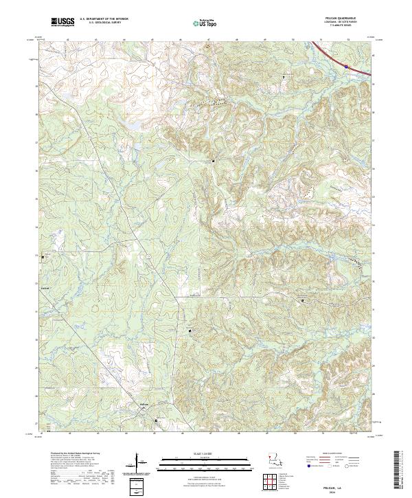
2024 Pelican
De Soto Parish, LA
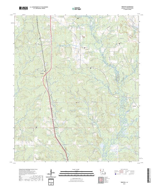
2024 Trenton
De Soto Parish, LA
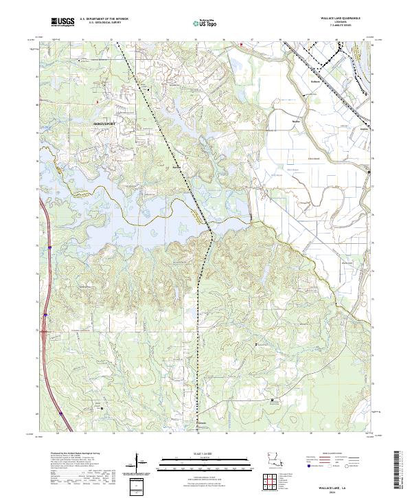
2024 Wallace Lake
De Soto Parish, LA