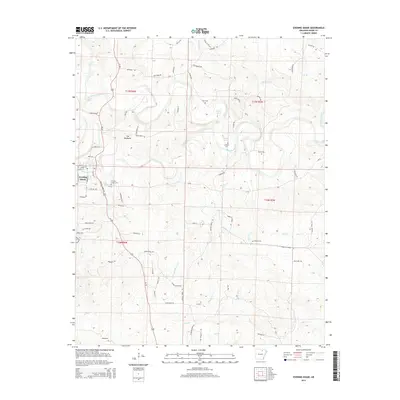
2014 Map of Evening Shade
USGS Topo · Published 2014About this map
Evening Shade serves as the focal point of this terrain in Sharp County, where the settlement is positioned along the banks of Town Br. The landscape is defined by the winding course of the Strawberry River and significant local relief like The Backbone, which creates a prominent ridge line south of the town center. For genealogists and local historians, the sheet is exceptionally detailed with family and community burial sites, including Evening Shade Cem, Fore Cem, Lafferty Cem, Barnes Cem, and Powell Cem. Hydrological features such as Lafferty Springs and the Blue Hole indicate the significance of natural water sources to the region's development and geography. The intricate road network, featuring names like Simstown Rd and Ridge Line Rd, traces the movement patterns of this Ozark foothills community.
Find a feature on this map
81 named features on this map. Tap any name to fly to it.
Don’t see what you’re looking for? This feature index may not catch every label — zoom into the map to look around manually.
Map Details
Editions of this 2014 Evening Shade Map
This is the sole edition of this map. No revisions or reprints were ever made.
Other maps of this area

1890 · Batesville
USGS Topo · 1:125,000

1891 · Batesville
USGS Topo · 1:125,000

1932 · Strawberry
USGS Topo · 1:62,500

1935 · Strawberry
USGS Topo · 1:62,500

1941 · Strawberry
USGS Topo · 1:62,500

1943 · Sandtown
USGS Topo · 1:24,000

1943 · Cave City
USGS Topo · 1:31,680

1953 · Memphis
USGS Topo · 1:250,000

1956 · Memphis
USGS Topo · 1:250,000

1957 · Poplar Bluff
USGS Topo · 1:250,000