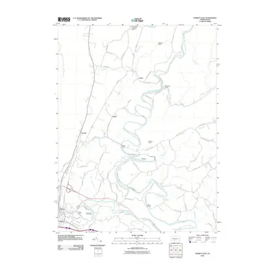
2010 Map of Everett East
USGS Topo · Published 2010About this map
The Raystown Branch Juniata River creates a serpentine corridor through this section of Bedford County, shaping the location of early settlements and road networks. The borough of Everett and adjacent Earlston anchor the southwestern corner, where Bloody Run meets the river. Moving north, the landscape transitions into a series of smaller hamlets and rural landmarks, including Tatesville, Brallier, and Cypher. The presence of Hall's Mill Covered Bridge over Yellow Creek and historic crossings like Ritchey Bridge and Woy Bridge highlight the area's long-standing reliance on river-spanning infrastructure.
Find a feature on this map
68 named features on this map. Tap any name to fly to it.
Don’t see what you’re looking for? This feature index may not catch every label — zoom into the map to look around manually.
Map Details
Editions of this 2010 Everett East Map
This is the sole edition of this map. No revisions or reprints were ever made.
Other maps of this area

1900 · Everett
USGS Topo · 1:62,500

1902 · Everett
USGS Topo · 1:62,500

1925 · Needmore
USGS Topo · 1:48,000

1927 · Clearville
USGS Topo · 1:48,000

1930 · Broad Top
USGS Topo · 1:62,500

1931 · Clearville
USGS Topo · 1:62,500

1933 · Broad Top
USGS Topo · 1:62,500

1935 · Needmore
USGS Topo · 1:62,500

1939 · Needmore
USGS Topo · 1:62,500

1944 · Clearville
USGS Topo · 1:62,500
Featured Places
- Everett, PA
- East Providence Township, PA
- Brallier, Hopewell Township
- Cypher, Hopewell Township
- West Providence Township, PA