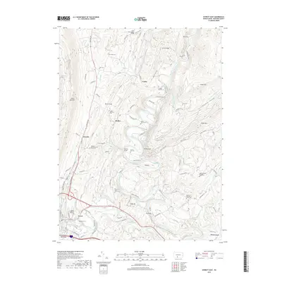
2019 Map of Everett East
USGS Topo · Published 2019About this map
Raystown Branch Juniata River meanders through a landscape defined by prominent ridges including Tussey Mountain and Warrior Ridge. This area of Bedford County shows a dense concentration of small cemeteries and local landmarks that reflect generations of family settlements. Hall's Mill Covered Bridge spans the northern waters near Cypher, while further south, the town of Everett serves as a local hub along the riverbanks, featuring the Allegany College of Maryland and the Everett Cem.
Find a feature on this map
105 named features on this map. Tap any name to fly to it.
Don’t see what you’re looking for? This feature index may not catch every label — zoom into the map to look around manually.
Map Details
Editions of this 2019 Everett East Map
This is the sole edition of this map. No revisions or reprints were ever made.
Other maps of this area

1900 · Everett
USGS Topo · 1:62,500

1902 · Everett
USGS Topo · 1:62,500

1925 · Needmore
USGS Topo · 1:48,000

1927 · Clearville
USGS Topo · 1:48,000

1930 · Broad Top
USGS Topo · 1:62,500

1931 · Clearville
USGS Topo · 1:62,500

1933 · Broad Top
USGS Topo · 1:62,500

1935 · Needmore
USGS Topo · 1:62,500

1939 · Needmore
USGS Topo · 1:62,500

1944 · Clearville
USGS Topo · 1:62,500
Featured Places
- Everett, PA
- East Providence Township, PA
- Brallier, Hopewell Township
- Cypher, Hopewell Township
- West Providence Township, PA