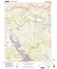
1994 Map of Evergreen
USGS Topo · Published 1994About this map
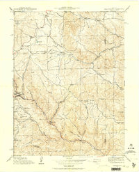
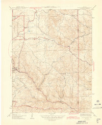
Evergreen and its neighboring mountain communities are situated at a time of significant suburban development along the Front Range. The landscape is defined by the sharp descent of Clear Creek through its canyon and the winding course of Bear Creek as it feeds into Evergreen Lake. This 1990s revision shows a region balancing its recreational history with residential expansion, evidenced by the clustered settlements of Kittredge, Indian Hills, and Bergen Park. Higher elevations such as Elephant Butte and Genesee Mountain tower over a complex network of canyons and gulches, including Kerr Gulch and Swede Gulch. Local history is preserved at the Rockland Cem and the Lookout Mountain Nature Center, while the presence of the Evergreen Junior High Sch and multiple country clubs indicates the area's transition from a mountain retreat to a permanent residential hub.
Find a feature on this map
67 named features on this map. Tap any name to fly to it.
Don’t see what you’re looking for? This feature index may not catch every label — zoom into the map to look around manually.
Map Details
Editions of this 1994 Evergreen Map
This is the sole edition of this map. No revisions or reprints were ever made.
Other maps of this area

1899 · West Denver
USGS Topo · 1:125,000

1906 · Blackhawk
USGS Topo · 1:62,500
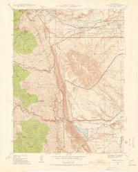
1938 · Morrison
USGS Topo · 1:24,000
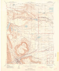
1939 · Golden
USGS Topo · 1:24,000
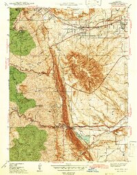
1942 · Morrison
USGS Topo · 1:31,680

1942 · Golden
USGS Topo · 1:31,680
1942 · Black Hawk
USGS Topo · 1:24,000

1942 · Ralston Buttes
USGS Topo · 1:24,000
1944 · Black Hawk
USGS Topo · 1:31,680

1944 · Ralston Buttes
USGS Topo · 1:31,680