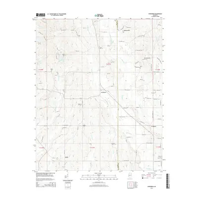
2015 Map of Evergreen
USGS Topo · Published 2015About this map
The community of Ballardsville and the surrounding borderlands of Lee and Itawamba counties define this interior Mississippi landscape. The area is characterized by a high density of small family burial grounds and churchyards, including the Pettigrew-Ivy Family Cem, Orr-Patterson Family Cem, and Bowlin Family Cem. These sites, alongside larger gathering places like Andrews Chapel Cem and Kellys Chapel Cem, suggest a deeply rooted rural genealogy tied to specific family landholdings.
Find a feature on this map
120 named features on this map. Tap any name to fly to it.
Don’t see what you’re looking for? This feature index may not catch every label — zoom into the map to look around manually.
Map Details
Editions of this 2015 Evergreen Map
This is the sole edition of this map. No revisions or reprints were ever made.
Other maps of this area

1921 · Tupelo
USGS Topo · 1:48,000

1923 · Tupelo
USGS Topo · 1:62,500

1956 · Tupelo
USGS Topo · 1:250,000

1958 · Tupelo
USGS Topo · 1:250,000

1965 · Mooreville
USGS Topo · 1:24,000

1965 · Fulton
USGS Topo · 1:24,000

1966 · Smithville
USGS Topo · 1:24,000

1966 · Beans Ferry
USGS Topo · 1:24,000

1966 · Shannon
USGS Topo · 1:24,000
1966 · Nettleton
USGS Topo · 1:24,000