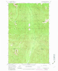
1965 Map of Evergreen Mtn
USGS Topo · Published 1982About this map
Mt Baker-Snoqualmie National Forest dominates this topographic study, where high-elevation landmarks define the border between Snohomish and King Counties. The landscape is characterized by a network of drainage basins including the Beckler River and Rapid River, with the Evergreen Mtn Lookout serving as a primary high-ground vantage point. These peaks are interspersed with named summits such as Silica Mtn, Bear Mountain, and the curiously named El Capitan.
Find a feature on this map
28 named features on this map. Tap any name to fly to it.
Don’t see what you’re looking for? This feature index may not catch every label — zoom into the map to look around manually.
Map Details
Editions of this 1965 Evergreen Mtn Map
2 editions found
Other maps of this area

1902 · Skykomish
USGS Topo · 1:125,000

1905 · Skykomish
USGS Topo · 1:125,000

1957 · Wenatchee
USGS Topo · 1:250,000

1965 · Captain Point
USGS Topo · 1:24,000

1965 · Evergreen Mtn
USGS Topo · 1:24,000

1965 · Grotto
USGS Topo · 1:24,000

1965 · Monte Cristo
USGS Topo · 1:24,000

1965 · Skykomish
USGS Topo · 1:24,000
1965 · Bench Mark Mtn
USGS Topo · 1:24,000
1965 · Baring
USGS Topo · 1:24,000