
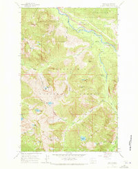
1965 Map of Grotto
USGS Topo · Published 1967About this map
The small settlement of Grotto serves as the focal point for this mid-1960s study of the high Cascades, where the Great Northern Railway snakes along the South Fork Skykomish River. The map reveals an industrial landscape defined by resource extraction within the Snoqualmie National Forest, featuring a Claypit, Sandpit, and several remote mining operations. In the higher elevations, the Cleopatra Mine and Miller Mine are accessible only by a Jeep Trail or Pack Trail, emphasizing the era's difficult access to these interior mineral claims.
Find a feature on this map
52 named features on this map. Tap any name to fly to it.
Don’t see what you’re looking for? This feature index may not catch every label — zoom into the map to look around manually.
Map Details
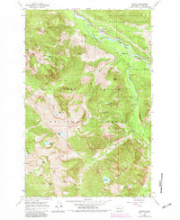
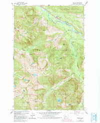
Editions of this 1965 Grotto Map
4 editions found
Other maps of this area

1902 · Skykomish
USGS Topo · 1:125,000

1905 · Skykomish
USGS Topo · 1:125,000

1921 · Sultan
USGS Topo · 1:125,000

1923 · Sultan
USGS Topo · 1:125,000

1957 · Index
USGS Topo · 1:62,500

1957 · Wenatchee
USGS Topo · 1:250,000

1960 · Mount Si
USGS Topo · 1:62,500

1965 · Evergreen Mtn
USGS Topo · 1:24,000

1965 · Skykomish
USGS Topo · 1:24,000
1965 · Baring
USGS Topo · 1:24,000