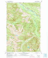
1965 Map of Grotto
USGS Topo · Published 1991About this map
The South Fork Skykomish River carves through this mountain landscape, which was revised by the Forest Service in 1979 to reflect changing wilderness boundaries. Industry is visible at Grotto, where a claypit and water tank support local operations, while further south, the Cleopatra Mine and scattered quarries show the area's resource history. The map documents an era of increasing recreational use, featuring several established campsites like the Money Creek Campground and Miller River Campground. Higher elevations are dominated by deep basins and glacial lakes, including Goat Basin and Lake Kanim. A network of transport includes a major Pipeline near the river and a Pack Trail winding through the Alpine Lakes Wilderness Mountains, illustrating the contrast between valley floor utility and high-altitude conservation.
Find a feature on this map
49 named features on this map. Tap any name to fly to it.
Don’t see what you’re looking for? This feature index may not catch every label — zoom into the map to look around manually.
Map Details
Editions of this 1965 Grotto Map
4 editions found
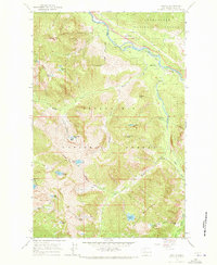
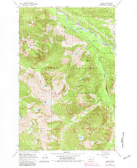
Other maps of this area

1902 · Skykomish
USGS Topo · 1:125,000

1905 · Skykomish
USGS Topo · 1:125,000

1921 · Sultan
USGS Topo · 1:125,000

1923 · Sultan
USGS Topo · 1:125,000

1957 · Index
USGS Topo · 1:62,500

1957 · Wenatchee
USGS Topo · 1:250,000

1960 · Mount Si
USGS Topo · 1:62,500

1965 · Evergreen Mtn
USGS Topo · 1:24,000

1965 · Grotto
USGS Topo · 1:24,000

1965 · Skykomish
USGS Topo · 1:24,000