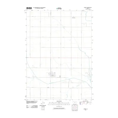
2010 Map of Everly
USGS Topo · Published 2010About this map
Everly serves as the primary hub of this Clay County landscape, where the confluence of the Ocheyedan River and its tributaries dictates the local geography. The town site is clustered near the Everly Post Office, situated just north of the river's winding path. This 2010 survey illustrates a highly organized agricultural grid defined by gravel roads like 280th St and 350th St, which connect dispersed rural landmarks. Genealogy and local history researchers will find the locations of the First Reformed Church Cemetery in the northeast and the Lone Tree Cemetery to the south. The drainage patterns of Stony Creek and Spring Creek highlight the natural watershed that feeds into the Little Sioux River at the edge of the quadrangle.
Find a feature on this map
21 named features on this map. Tap any name to fly to it.
Don’t see what you’re looking for? This feature index may not catch every label — zoom into the map to look around manually.
Map Details
Editions of this 2010 Everly Map
This is the sole edition of this map. No revisions or reprints were ever made.
Other maps of this area

1954 · Fairmont
USGS Topo · 1:250,000

1958 · Fairmont
USGS Topo · 1:250,000

1966 · Spencer
USGS Topo · 1:24,000

1966 · Greenville
USGS Topo · 1:24,000

1970 · Milford
USGS Topo · 1:24,000

1970 · Hartley SW
USGS Topo · 1:24,000

1970 · Everly
USGS Topo · 1:24,000

1970 · Hartley
USGS Topo · 1:24,000

1970 · Royal
USGS Topo · 1:24,000

1970 · Lake Park SE
USGS Topo · 1:24,000