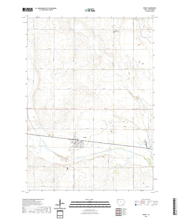
2022 Map of Everly
USGS Topo · Published 2022About this map
The town of Everly serves as the central hub of this Northwest Iowa landscape, situated at the confluence of several critical waterways. The grid of Clay County is interrupted by the winding courses of the Ocheyedan River and Stony Creek, which define the drainage patterns across the prairie. For genealogists, the map identifies local landmarks such as First Reformed Church Cem and the Lone Tree Cem, providing specific locations for ancestral research in the rural townships. The map details the local road network, from major routes like Co RD b24 to the residential streets of W Saint Marys St, showing the intersection of agricultural land and small-town infrastructure. This survey captures the geography of the region as it transitions between the banks of the Little Sioux River and the cultivated fields that define the Iowa interior.
Find a feature on this map
29 named features on this map. Tap any name to fly to it.
Don’t see what you’re looking for? This feature index may not catch every label — zoom into the map to look around manually.
Map Details
Editions of this 2022 Everly Map
This is the sole edition of this map. No revisions or reprints were ever made.
Other maps of this area

1954 · Fairmont
USGS Topo · 1:250,000

1958 · Fairmont
USGS Topo · 1:250,000

1966 · Spencer
USGS Topo · 1:24,000

1966 · Greenville
USGS Topo · 1:24,000

1970 · Milford
USGS Topo · 1:24,000

1970 · Hartley SW
USGS Topo · 1:24,000

1970 · Everly
USGS Topo · 1:24,000

1970 · Hartley
USGS Topo · 1:24,000

1970 · Royal
USGS Topo · 1:24,000

1970 · Lake Park SE
USGS Topo · 1:24,000