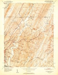
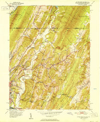
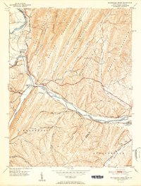
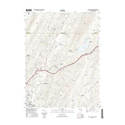
1951 Map of Evitts Creek
USGS Topo · Published 1951About this map
The ridge-and-valley landscape of the Maryland-Pennsylvania border comes into sharp focus, centered on the corridor of Evitts Creek and the eastern expansion of Cumberland. The 1951 edition highlights a region defined by steep topography and strategic transport routes, where the Baltimore and Ohio Railroad follows the path of Wills Creek through the mountains. Settlement patterns are largely dictated by the terrain, with small communities like Cooks Mills and Hazen positioned in the lower gaps, while numerous country churches such as Mt Fairview Ch and Mt Collier Ch dot the slopes of Irons Mountain and Collier Mountain.
Find a feature on this map
65 named features on this map. Tap any name to fly to it.
Don’t see what you’re looking for? This feature index may not catch every label — zoom into the map to look around manually.
Map Details
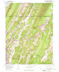
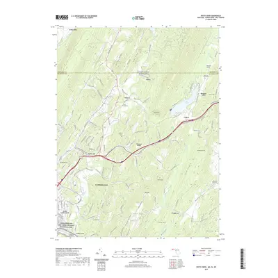
Editions of this 1951 Evitts Creek Map
2 editions found
Historical Maps of Cumberland Through Time
10 maps found
1949 Evitts Creek
Allegany County, MD
1949 Patterson Creek
Allegany County, MD
1951 Artemas
Allegany County, MD
1951 Evitts Creek
Allegany County, MD
1951 Pattersons Creek
Allegany County, MD
2011 Evitts Creek
Allegany County, MD
2014 Evitts Creek
Allegany County, MD
2016 Evitts Creek
Allegany County, MD
2019 Evitts Creek
Allegany County, MD
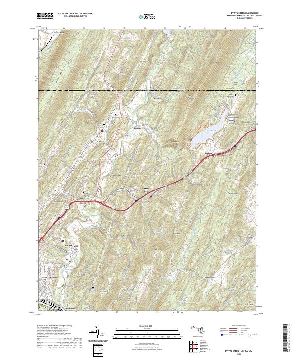
2023 Evitts Creek
Allegany County, MD