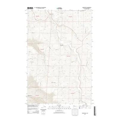
2013 Map of Ewartsville
USGS Topo · Published 2013About this map
Union Flat Creek and its many tributaries, including Wilbur Creek and Spring Flat Creek, carve through the rolling agricultural landscape of Whitman County on this 2013 survey. The area is defined by its deep canyons, such as MacMurry Canyon, Buck Canyon, and Wawawai Canyon, which create a complex drainage system flowing toward the snake river basin.
Find a feature on this map
32 named features on this map. Tap any name to fly to it.
Don’t see what you’re looking for? This feature index may not catch every label — zoom into the map to look around manually.
Map Details
Editions of this 2013 Ewartsville Map
This is the sole edition of this map. No revisions or reprints were ever made.
Other maps of this area

1910 · Pullman
USGS Topo · 1:125,000

1955 · Pullman
USGS Topo · 1:250,000

1958 · Pullman
USGS Topo · 1:250,000

1964 · Wilcox
USGS Topo · 1:24,000

1964 · Kirby
USGS Topo · 1:24,000

1964 · Colton
USGS Topo · 1:24,000
1964 · Albion
USGS Topo · 1:24,000

1964 · Colfax South
USGS Topo · 1:24,000

1964 · Ewartsville
USGS Topo · 1:24,000

1964 · Bishop
USGS Topo · 1:24,000