
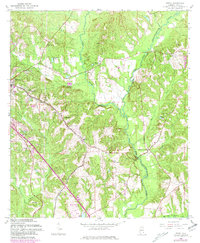
1960 Map of Ewell
USGS Topo · Published 1963About this map
The settlement of Ewell and the expanding eastern limits of Ozark anchor this study of Dale County's landscape in the early 1960s. The Atlantic Coast Line railroad cuts diagonally through the terrain, connecting small rural hubs like Mabson and passing near local landmarks such as the Drive-in Theater and the South Side Sch. Agriculture and early aviation appear side-by-side, noted by a Landing Area (Under Constr) and the Ozark Municipal Airport.
Find a feature on this map
37 named features on this map. Tap any name to fly to it.
Don’t see what you’re looking for? This feature index may not catch every label — zoom into the map to look around manually.
Map Details
Editions of this 1960 Ewell Map
2 editions found
Other maps of this area

1942 · Enterprise
USGS Topo · 1:125,000

1948 · Ozark
USGS Topo · 1:62,500

1950 · Ozark
USGS Topo · 1:62,500

1953 · Dothan
USGS Topo · 1:250,000

1954 · Dothan
USGS Topo · 1:250,000

1955 · Dothan
USGS Topo · 1:250,000

1960 · Pinckard
USGS Topo · 1:24,000
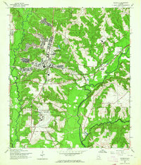
1960 · Daleville
USGS Topo · 1:24,000
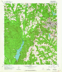
1960 · Ozark
USGS Topo · 1:24,000
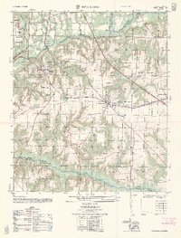
1962 · Pinckard
USGS Topo · 1:25,000