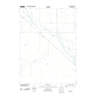
2011 Map of Ewing SW
USGS Topo · Published 2011About this map
The Elkhorn River meanders across this Holt County landscape, defining the character of the terrain as it flows past the small settlement of Stafford. The river's path is marked by numerous oxbows and marshy depressions, including the Chain Lakes in the northwest and Learys Lakes to the southeast. These water features are characteristic of the Sandhills region's hydrology, where the high water table creates a series of shallow lakes and wet meadows. The mapping captures the transportation layout of the area in the early 21st century, showing the intersection of local roads and highways that converge near the Stafford site, which has served as a central point for the surrounding agricultural community.
Find a feature on this map
4 named features on this map. Tap any name to fly to it.
Don’t see what you’re looking for? This feature index may not catch every label — zoom into the map to look around manually.
Map Details
Editions of this 2011 Ewing SW Map
This is the sole edition of this map. No revisions or reprints were ever made.
Other maps of this area

1955 · O'Neill
USGS Topo · 1:250,000

1958 · Inman
USGS Topo · 1:24,000

1958 · Page
USGS Topo · 1:24,000

1959 · O'Neill
USGS Topo · 1:250,000

1963 · Ewing SW
USGS Topo · 1:24,000

1963 · Venus
USGS Topo · 1:24,000

1963 · Ewing
USGS Topo · 1:24,000

1963 · Deloit NE
USGS Topo · 1:24,000

1963 · Deloit NW
USGS Topo · 1:24,000

1964 · O'Neill SE
USGS Topo · 1:24,000