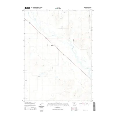
2014 Map of Ewing SW
USGS Topo · Published 2014About this map
The Elkhorn River meanders across this Holt County landscape, anchoring a region defined by its waterway and recreational history. Along the northern bends, the Chain Lakes and Learys Lakes provide distinct landmarks in a terrain characterized by its water features and section-line roads. The settlement of Stafford sits near the center of the sheet, serving as a focal point for the surrounding rural road network.
Find a feature on this map
18 named features on this map. Tap any name to fly to it.
Don’t see what you’re looking for? This feature index may not catch every label — zoom into the map to look around manually.
Map Details
Editions of this 2014 Ewing SW Map
This is the sole edition of this map. No revisions or reprints were ever made.
Other maps of this area

1955 · O'Neill
USGS Topo · 1:250,000

1958 · Inman
USGS Topo · 1:24,000

1958 · Page
USGS Topo · 1:24,000

1959 · O'Neill
USGS Topo · 1:250,000

1963 · Ewing SW
USGS Topo · 1:24,000

1963 · Venus
USGS Topo · 1:24,000

1963 · Ewing
USGS Topo · 1:24,000

1963 · Deloit NE
USGS Topo · 1:24,000

1963 · Deloit NW
USGS Topo · 1:24,000

1964 · O'Neill SE
USGS Topo · 1:24,000