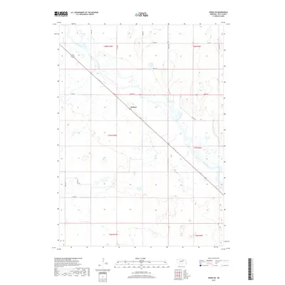
2017 Map of Ewing SW
USGS Topo · Published 2017About this map
Stafford serves as a central waypoint in this section of Holt County, where the modern transport corridor of the Cowboy Trl cuts diagonally across the landscape. The terrain is defined by the winding course of the Elkhorn River, which feeds into a series of wetlands and small water bodies including Chain Lakes in the northwest and Learys Lakes further south. This 2017 survey reflects the enduring grid of the Public Land Survey System, with gravel routes like 865th Rd and Taylor Rd providing access to the agricultural interior. The presence of the Cowboy Trail, a significant rail-to-trail conversion on the former Chicago and North Western line, illustrates the shift from industrial rail to recreational utility while maintaining the historical path that once shaped the growth of settlements like Stafford.
Find a feature on this map
18 named features on this map. Tap any name to fly to it.
Don’t see what you’re looking for? This feature index may not catch every label — zoom into the map to look around manually.
Map Details
Editions of this 2017 Ewing SW Map
This is the sole edition of this map. No revisions or reprints were ever made.
Other maps of this area

1955 · O'Neill
USGS Topo · 1:250,000

1958 · Inman
USGS Topo · 1:24,000

1958 · Page
USGS Topo · 1:24,000

1959 · O'Neill
USGS Topo · 1:250,000

1963 · Ewing SW
USGS Topo · 1:24,000

1963 · Venus
USGS Topo · 1:24,000

1963 · Ewing
USGS Topo · 1:24,000

1963 · Deloit NE
USGS Topo · 1:24,000

1963 · Deloit NW
USGS Topo · 1:24,000

1964 · O'Neill SE
USGS Topo · 1:24,000