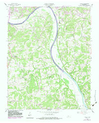
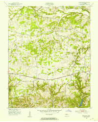
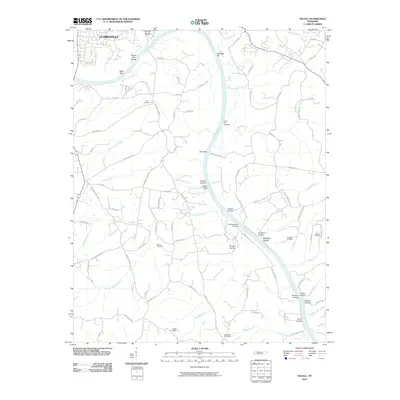
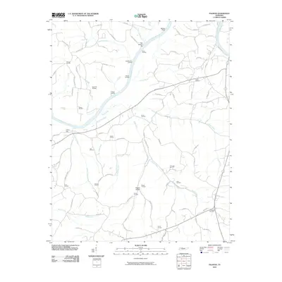
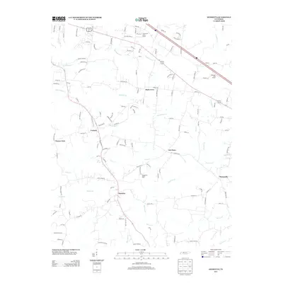
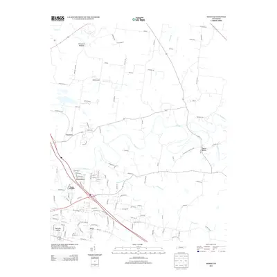
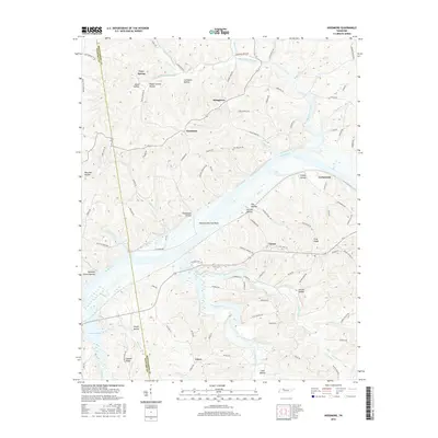
1958 Map of Excell
USGS Topo · Published 1984About this map
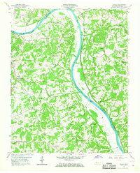
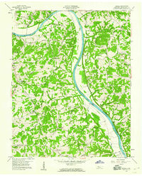
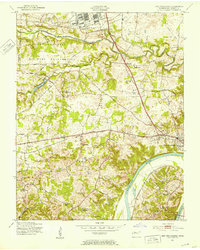
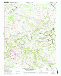
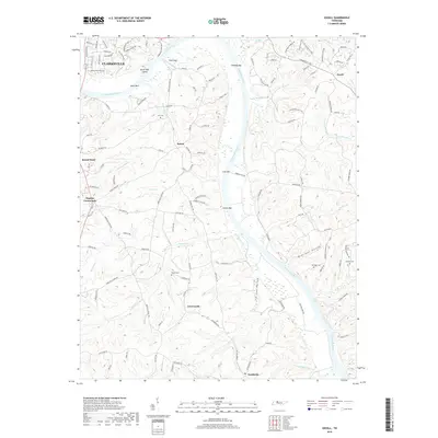
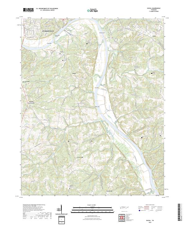
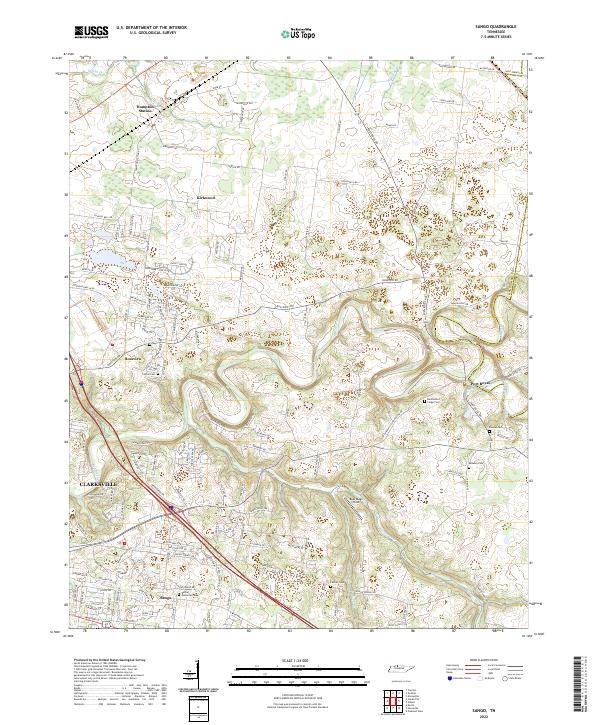
The Cumberland River forms the dominant corridor through this landscape, marking a transition point where historic river crossings met rural upland communities. The map highlights the creation of Lake Barkley, which inundated much of the river valley. On the higher ground, ancient history is noted at the Indian Mounds near the river bend, while the later settlement patterns of Montgomery County are represented by scattered nodes like Orgains Crossroads and Liverworth. Transportation was once tied to the water, evidenced by the alignment of Edmondson Ferry Road and Sevenmile Ferry Road. For genealogists, the map is a vital record of local landmarks, locating numerous churches such as Marthas Chapel and Hagewood Chapel, alongside small rural schools like Dixon Sch and family cemeteries including the Lyle Cem and Stewart Cem.
Find a feature on this map
56 named features on this map. Tap any name to fly to it.
Don’t see what you’re looking for? This feature index may not catch every label — zoom into the map to look around manually.
Map Details
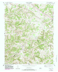
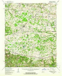
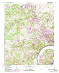
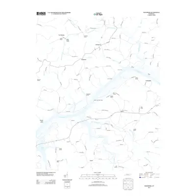
Editions of this 1958 Excell Map
3 editions found
Historical Maps of Clarksville Through Time
45 maps found
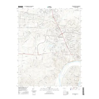
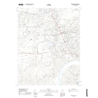
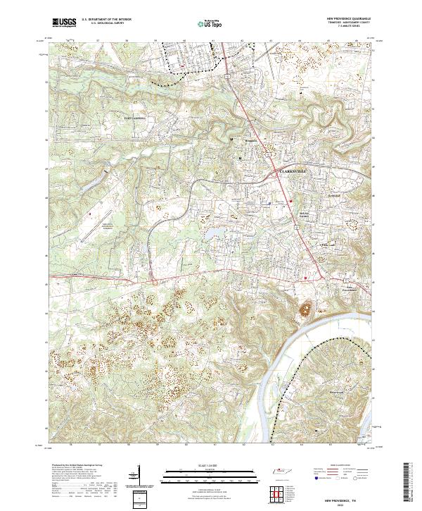
1951 New Providence
Montgomery County, TN
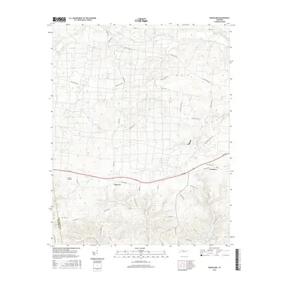
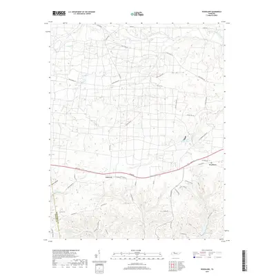
1951 Woodlawn
Montgomery County, TN
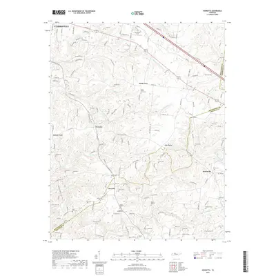
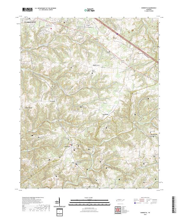
1957 Henrietta
Montgomery County, TN
1957 Herndon
Montgomery County, TN
1957 New Providence
Montgomery County, TN
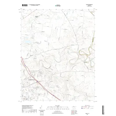
1957 Sango
Montgomery County, TN
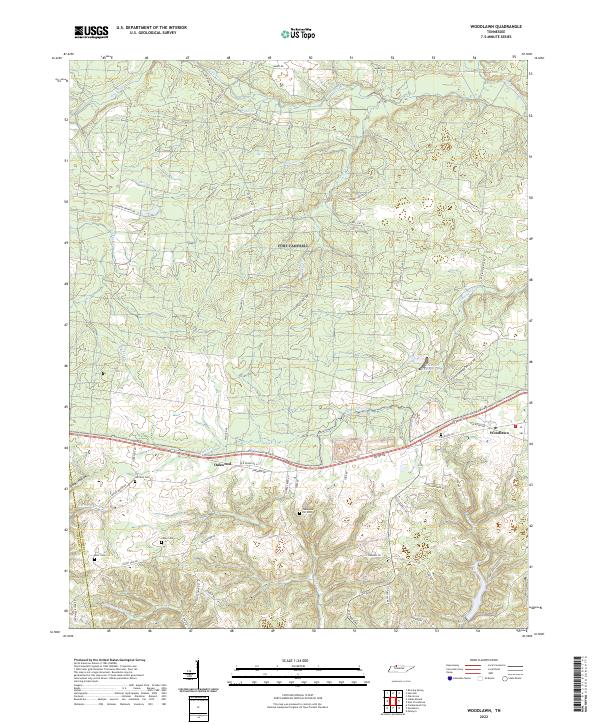
1957 Woodlawn
Montgomery County, TN
1958 Excell
Montgomery County, TN
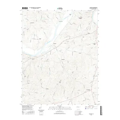
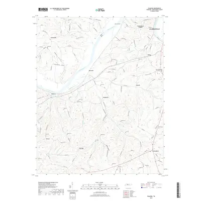
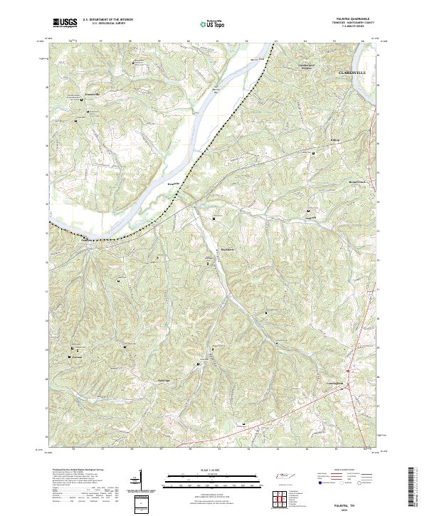
1958 Palmyra
Montgomery County, TN
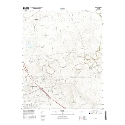
1965 Needmore
Montgomery County, TN
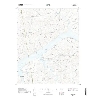
2010 Excell
Montgomery County, TN
2010 Henrietta
Montgomery County, TN
2010 Needmore
Montgomery County, TN
2010 New Providence
Montgomery County, TN
2010 Palmyra
Montgomery County, TN
2010 Sango
Montgomery County, TN
2010 Woodlawn
Montgomery County, TN
2013 Excell
Montgomery County, TN
2013 Henrietta
Montgomery County, TN
2013 Needmore
Montgomery County, TN
2013 New Providence
Montgomery County, TN
2013 Palmyra
Montgomery County, TN
2013 Sango
Montgomery County, TN
2013 Woodlawn
Montgomery County, TN
2016 Excell
Montgomery County, TN
2016 Henrietta
Montgomery County, TN
2016 Needmore
Montgomery County, TN
2016 New Providence
Montgomery County, TN
2016 Palmyra
Montgomery County, TN
2016 Sango
Montgomery County, TN
2016 Woodlawn
Montgomery County, TN
2019 Excell
Montgomery County, TN
2019 Henrietta
Montgomery County, TN
2019 Needmore
Montgomery County, TN
2019 New Providence
Montgomery County, TN
2019 Palmyra
Montgomery County, TN
2019 Sango
Montgomery County, TN
2019 Woodlawn
Montgomery County, TN
2022 Excell
Montgomery County, TN
2022 Henrietta
Montgomery County, TN

2022 Needmore
Montgomery County, TN
2022 New Providence
Montgomery County, TN
2022 Palmyra
Montgomery County, TN
2022 Sango
Montgomery County, TN
2022 Woodlawn
Montgomery County, TN