
1957 Map of Clarksville
USGS Topo · Published 1960About this map
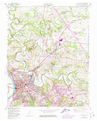
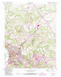
The Cumberland River and Red River define this mid-century portrait of Clarksville, appearing just as the local geography was undergoing a massive transformation. The map documents the early stages of the Lake Barkley project, with the dam noted as under construction, signaling the shift in the river's character. In the city center, the campus of Austin Peay State College stands as a focal point near Riverview Cem and the Tennessee Central rail lines.
Find a feature on this map
44 named features on this map. Tap any name to fly to it.
Don’t see what you’re looking for? This feature index may not catch every label — zoom into the map to look around manually.
Map Details
Editions of this 1957 Clarksville Map
3 editions found
Other maps of this area

1944 · Clarksville
USGS Topo · 1:50,000

1950 · Guthrie
USGS Topo · 1:24,000

1951 · New Providence
USGS Topo · 1:24,000

1951 · Hammacksville
USGS Topo · 1:24,000

1951 · Clarksville
USGS Topo · 1:24,000

1951 · Oak Grove
USGS Topo · 1:24,000

1956 · Nashville
USGS Topo · 1:250,000

1957 · Henrietta
USGS Topo · 1:24,000

1957 · Sango
USGS Topo · 1:24,000

1957 · New Providence
USGS Topo · 1:24,000
Featured Places
- Clarksville, TN
- Hillview Estates, Clarksville
- Shady Bluff, Clarksville
- Swan Lake Village, Clarksville
- Spring Valley, Clarksville