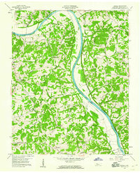
1958 Map of Excell
USGS Topo · Published 1968About this map
The Cumberland River cuts a deep, meandering path through this landscape south of Clarksville, defining the movement and settlement patterns of central Montgomery County. High ridges like Big Ridge and McAdoo Ridge rise sharply from the riverbanks, where the agrarian communities of Excell and Orgains Crossroads are connected by a network of historic river crossings including the Edmondson Ferry Road and Sevenmile Ferry Road.
Find a feature on this map
47 named features on this map. Tap any name to fly to it.
Don’t see what you’re looking for? This feature index may not catch every label — zoom into the map to look around manually.
Map Details
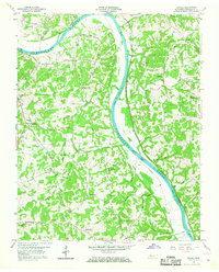
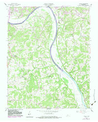
Editions of this 1958 Excell Map
3 editions found
Other maps of this area

1944 · Clarksville
USGS Topo · 1:50,000

1951 · New Providence
USGS Topo · 1:24,000

1951 · Clarksville
USGS Topo · 1:24,000

1956 · Nashville
USGS Topo · 1:250,000

1957 · Cheatham Dam
USGS Topo · 1:24,000

1957 · Henrietta
USGS Topo · 1:24,000

1957 · Sango
USGS Topo · 1:24,000

1957 · New Providence
USGS Topo · 1:24,000

1957 · Clarksville
USGS Topo · 1:24,000
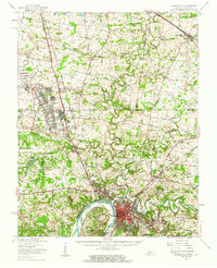
1957 · Clarksville
USGS Topo · 1:62,500