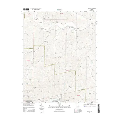
2015 Map of Exchange
USGS Topo · Published 2015About this map
The Ozark National Scenic Riverways dominates the southern landscape of this Shannon and Reynolds County borderland, where the Current River flows past Paint Rock Bluff and the rising profile of Cardareva Mtn. The terrain is characterized by a dense network of named hollows and valleys, such as Dickens Valley and Wolf Pen Hollow, which have historically dictated the placement of small settlements and family burial grounds. Local history is anchored at the crossroads of Exchange and Deslet, while the genealogical record is preserved at Neeley Cemetery, Pumpkin Hollow Cemetery, and Burnham Cemetery. This modern survey illustrates how modern forest management and conservation areas have integrated with traditional Ozark land use, including the preservation of water sources like Gravel Spring and the persistent system of unpaved forest trails.
Find a feature on this map
88 named features on this map. Tap any name to fly to it.
Don’t see what you’re looking for? This feature index may not catch every label — zoom into the map to look around manually.
Map Details
Editions of this 2015 Exchange Map
This is the sole edition of this map. No revisions or reprints were ever made.
Other maps of this area

1928 · Cardareva
USGS Topo · 1:62,500

1943 · Ellington
USGS Topo · 1:62,500

1943 · Lesterville
USGS Topo · 1:62,500

1944 · Corridon
USGS Topo · 1:62,500

1945 · Ellington
USGS Topo · 1:62,500

1946 · Lesterville
USGS Topo · 1:62,500

1947 · Corridon
USGS Topo · 1:62,500

1949 · Rolla
USGS Topo · 1:250,000

1949 · Cardareva
USGS Topo · 1:62,500

1953 · Rolla
USGS Topo · 1:250,000