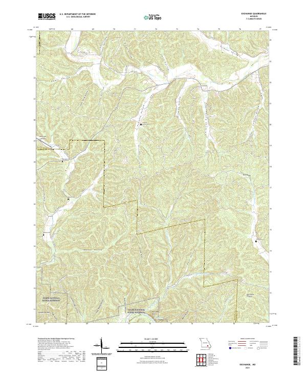
2021 Map of Exchange
USGS Topo · Published 2021About this map
Ozark National Scenic Riverway protects the southern corridor of this landscape, where the Current River flows past Paint Rock Bluff. The terrain is characterized by a dense network of hollows, including Pumpkin Hollow and Pete Shanty Hollow, which drain into larger valleys like Dickens Valley. The small settlement of Exchange sits at a junction near the headwaters of Logan Cr, representing a pocket of development in an otherwise heavily forested area.
Find a feature on this map
83 named features on this map. Tap any name to fly to it.
Don’t see what you’re looking for? This feature index may not catch every label — zoom into the map to look around manually.
Map Details
Editions of this 2021 Exchange Map
This is the sole edition of this map. No revisions or reprints were ever made.
Other maps of this area

1928 · Cardareva
USGS Topo · 1:62,500

1943 · Ellington
USGS Topo · 1:62,500

1943 · Lesterville
USGS Topo · 1:62,500

1944 · Corridon
USGS Topo · 1:62,500

1945 · Ellington
USGS Topo · 1:62,500

1946 · Lesterville
USGS Topo · 1:62,500

1947 · Corridon
USGS Topo · 1:62,500

1949 · Rolla
USGS Topo · 1:250,000

1949 · Cardareva
USGS Topo · 1:62,500

1953 · Rolla
USGS Topo · 1:250,000