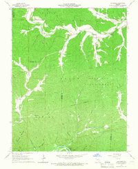
1965 Map of Exchange
USGS Topo · Published 1966About this map
Logan Deer Run State Forest dominates this mid-1960s Ozark landscape, where the rugged terrain is defined by an intricate network of hollows and creek beds. Along the northern stretch, the small settlements of Logan and Exchange sit near the winding course of Logan Creek, while the southern border is traced by the Current River. The mapping reveals a rural community anchored by local landmarks such as Antioch Church and the Ellington Mun Airport.
Find a feature on this map
46 named features on this map. Tap any name to fly to it.
Don’t see what you’re looking for? This feature index may not catch every label — zoom into the map to look around manually.
Map Details
Editions of this 1965 Exchange Map
This is the sole edition of this map. No revisions or reprints were ever made.
Other maps of this area

1928 · Cardareva
USGS Topo · 1:62,500

1943 · Ellington
USGS Topo · 1:62,500

1943 · Lesterville
USGS Topo · 1:62,500

1944 · Corridon
USGS Topo · 1:62,500

1945 · Ellington
USGS Topo · 1:62,500

1946 · Lesterville
USGS Topo · 1:62,500

1947 · Corridon
USGS Topo · 1:62,500

1949 · Rolla
USGS Topo · 1:250,000

1949 · Cardareva
USGS Topo · 1:62,500

1953 · Rolla
USGS Topo · 1:250,000