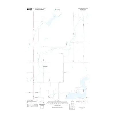
2013 Map of Exeland SE
USGS Topo · Published 2013About this map
The Thornapple River and its meandering tributaries dominate this Rusk County landscape, winding south toward the expansive Dairyland Reservoir. This mid-2010s survey captures a rural region defined by its water systems and local road networks, including Little Thornapple River, Skunk Cr, and Twin Cr. Social and community hubs are found at the Round Meadow Community Club, while recreation and infrastructure center on locations like Park Lake and Lea Lake 13. The southeastern corner of the quadrangle is anchored by the Rusk County Airport, situated near the shoreline of the reservoir. A network of county highways and local roads such as Cemetary Rd and Round Meadow Rd provide a clear view of the modern rural parcel divisions and access points to the river valleys that have long shaped the Hubbard area.
Find a feature on this map
39 named features on this map. Tap any name to fly to it.
Don’t see what you’re looking for? This feature index may not catch every label — zoom into the map to look around manually.
Map Details
Editions of this 2013 Exeland SE Map
This is the sole edition of this map. No revisions or reprints were ever made.
Other maps of this area

1944 · Exeland
USGS Topo · 1:48,000

1945 · Ingram
USGS Topo · 1:48,000

1947 · Exeland
USGS Topo · 1:48,000

1947 · Ingram
USGS Topo · 1:48,000

1947 · Sheldon
USGS Topo · 1:48,000

1948 · Ladysmith
USGS Topo · 1:48,000

1949 · Sheldon
USGS Topo · 1:48,000

1950 · Ladysmith
USGS Topo · 1:48,000

1953 · Rice Lake
USGS Topo · 1:250,000

1959 · Rice Lake
USGS Topo · 1:250,000