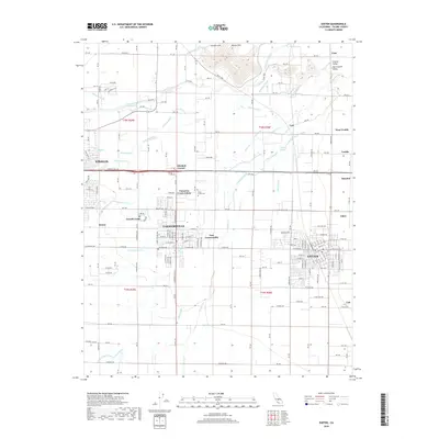
2018 Map of Exeter
USGS Topo · Published 2018About this map
Exeter and Farmersville serve as the primary hubs in this part of the San Joaquin Valley, where an intricate network of irrigation and drainage infrastructure transformed the Central Valley landscape. The map shows an extensive system of man-made waterways, including the Packwood Canal, Consolidated Peoples Ditch, and Witchumna Ditch, which redirect water from the Kaweah River and Saint Johns River into the surrounding agricultural lands. Smaller settlements and named junctions such as Mitchell Corner, Cameron Creek Colony, and Linnell Camp are scattered throughout the region, illustrating the historical density of labor and residential sites related to the local citrus and farming industries. Near the center of the quadrangle, the Deep Creek Cem sits adjacent to Cameron Cr, providing a specific point of interest for genealogists tracing local families in this productive agricultural corridor east of Visalia.
Find a feature on this map
114 named features on this map. Tap any name to fly to it.
Don’t see what you’re looking for? This feature index may not catch every label — zoom into the map to look around manually.
Map Details
Editions of this 2018 Exeter Map
This is the sole edition of this map. No revisions or reprints were ever made.
Other maps of this area

1925 · Rocky Hill
USGS Topo · 1:31,680

1925 · Tulare
USGS Topo · 1:31,680

1926 · Ivanhoe
USGS Topo · 1:31,680

1926 · Exeter
USGS Topo · 1:31,680

1927 · Cairns Corner
USGS Topo · 1:31,680

1927 · Monson
USGS Topo · 1:31,680

1927 · Rocky Hill
USGS Topo · 1:31,680

1927 · Visalia
USGS Topo · 1:31,680

1927 · Tulare
USGS Topo · 1:31,680

1928 · Lemon Cove
USGS Topo · 1:31,680