Loading...
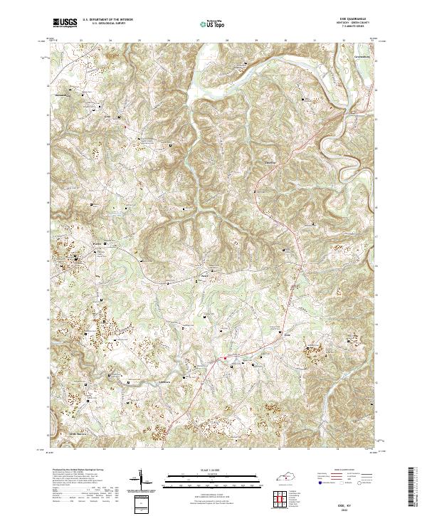
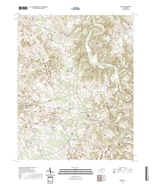
Loading map...2022 Map of Exie
USGS Topo · Published 2022About this map
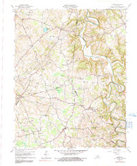
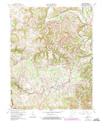
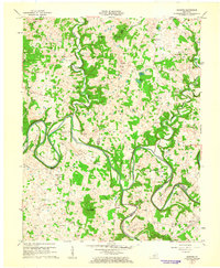
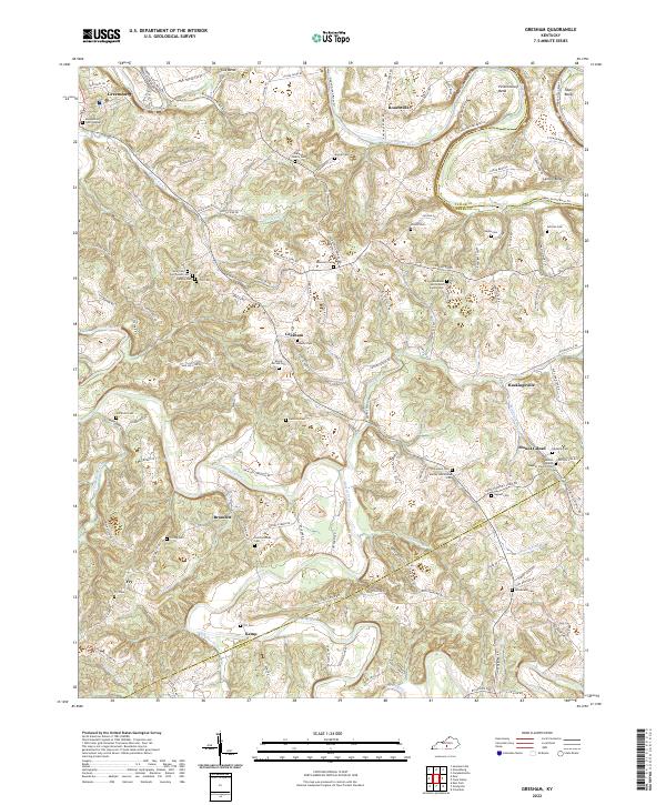
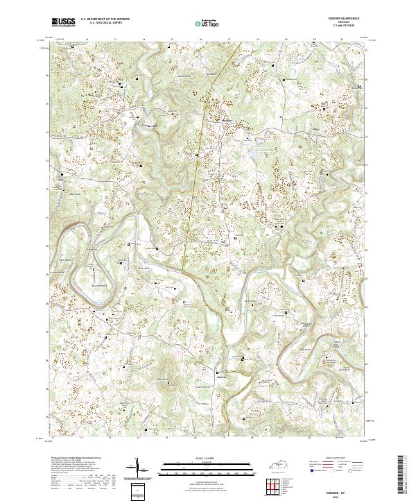
The Green River meanders through the northern section of this Green County landscape, where the terrain is defined by a dense network of ridges and hollows carved by Russell Creek and Trammel Cr. Smaller settlements such as Exie, Liletown, and Grab are distributed across the upland areas, connected by a web of local roads like Edmonton Rd and Grab Rd.
Find a feature on this map
145 named features on this map. Tap any name to fly to it.
Don’t see what you’re looking for? This feature index may not catch every label — zoom into the map to look around manually.
Map Details
Date Portrayed2022
Date Published2022
PublisherU.S. Geological Survey
Map TypeTopographic
Scale1:24000
Physical Dimensions24 x 29 inches
Editions of this 2022 Exie Map
This is the sole edition of this map. No revisions or reprints were ever made.
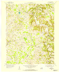
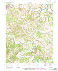
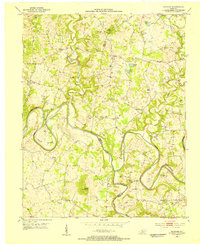
Historical Maps of Exie Through Time
11 maps found

Featured Locations
Source Details
SourceU.S. Geological Survey
CopyrightPublic Domain