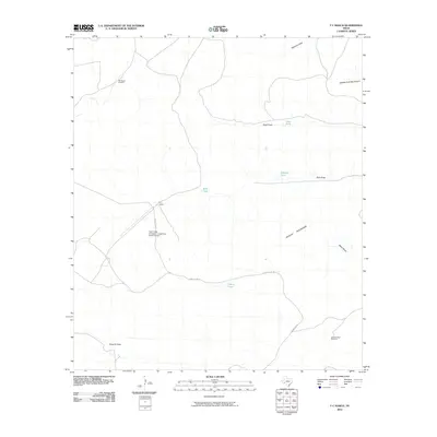
2010 Map of F C Ranch
USGS Topo · Published 2010About this map
The Wildcat Mountains dominate this West Texas landscape in the early 21st century, where the cattle industry remains the primary economic and geographic driver. The map centers on the ranching infrastructure essential for life in this arid climate, specifically the F C Ranch and the Faith Cattle Company, Longfellow Ranch Airport, which provides an aerial link for this isolated region. A network of named water sources and windmills, such as the Downie Draw Windmill and Jimmy Tank, illustrates the persistent need for water management in Pecos County. The layout of Longfellow Rd follows the natural contours and drainage paths of numerous ephemeral waterways, including Downie Draw and Baker Draw, showing how the modern transportation network still respects the original ranching boundaries and terrain constraints of the region.
Find a feature on this map
16 named features on this map. Tap any name to fly to it.
Don’t see what you’re looking for? This feature index may not catch every label — zoom into the map to look around manually.
Map Details
Editions of this 2010 F C Ranch Map
This is the sole edition of this map. No revisions or reprints were ever made.
Other maps of this area

1920 · Longfellow
USGS Topo · 1:125,000

1954 · Fort Stockton
USGS Topo · 1:250,000

1958 · Fort Stockton
USGS Topo · 1:250,000

1968 · Cap Rock Butte
USGS Topo · 1:24,000

1968 · Busher Canyon
USGS Topo · 1:24,000

1968 · Toms Canyon
USGS Topo · 1:24,000

1968 · F C Ranch
USGS Topo · 1:24,000

1968 · Longfellow
USGS Topo · 1:24,000

1968 · Ebers Camp
USGS Topo · 1:24,000

1968 · Ninemile Ranch
USGS Topo · 1:24,000