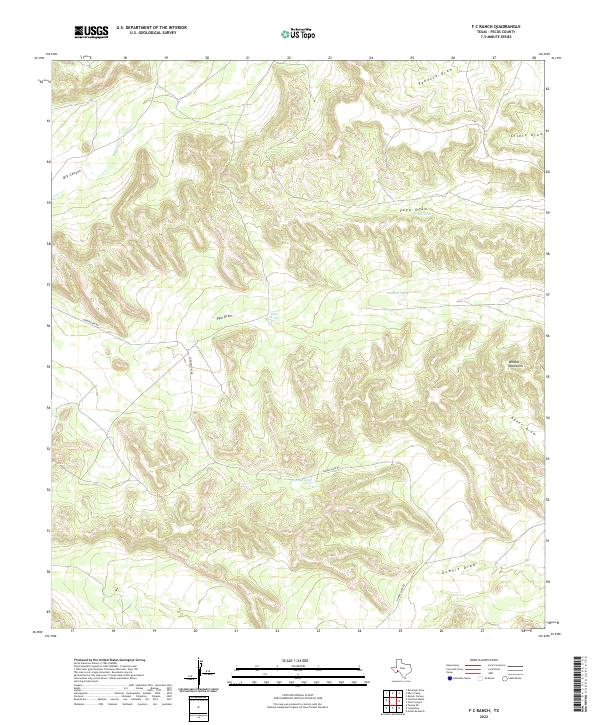
2022 Map of F C Ranch
USGS Topo · Published 2022About this map
Wildcat Mountains dominate the eastern reaches of this high-desert landscape in Pecos County, where the terrain is defined by an intricate network of drainage draws. Ranching infrastructure is the primary mark of human activity on this land, evidenced by isolated water sources such as Jimmy Tank, Steer Tank, and Vega Tank. These features were essential for livestock in a region where water is a scarce and precious resource.
Find a feature on this map
13 named features on this map. Tap any name to fly to it.
Don’t see what you’re looking for? This feature index may not catch every label — zoom into the map to look around manually.
Map Details
Editions of this 2022 F C Ranch Map
This is the sole edition of this map. No revisions or reprints were ever made.
Other maps of this area

1920 · Longfellow
USGS Topo · 1:125,000

1954 · Fort Stockton
USGS Topo · 1:250,000

1958 · Fort Stockton
USGS Topo · 1:250,000

1968 · Cap Rock Butte
USGS Topo · 1:24,000

1968 · Busher Canyon
USGS Topo · 1:24,000

1968 · Toms Canyon
USGS Topo · 1:24,000

1968 · F C Ranch
USGS Topo · 1:24,000

1968 · Longfellow
USGS Topo · 1:24,000

1968 · Ebers Camp
USGS Topo · 1:24,000

1968 · Ninemile Ranch
USGS Topo · 1:24,000