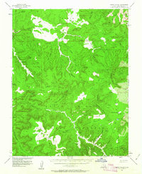
1954 Map of Fable Valley
USGS Topo · Published 1963About this map
Cliff Dwellings and numerous scattered ruins punctuate this high-elevation landscape of San Juan County, Utah. The topography is dominated by the intricate drainage systems of Dark Canyon and Fable Valley, where prehistoric habitations are recorded alongside more modern seasonal administrative points like the Gooseberry Guard Sta. The Manti-La Sal National Forest encompasses much of this terrain, showing a complex network of plateaus and points including Steamboat Point and Deadman Point.
Find a feature on this map
37 named features on this map. Tap any name to fly to it.
Don’t see what you’re looking for? This feature index may not catch every label — zoom into the map to look around manually.
Map Details
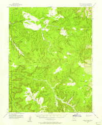
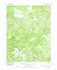
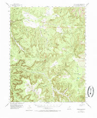
Editions of this 1954 Fable Valley Map
4 editions found
Other maps of this area

1885 · San Rafael
USGS Topo · 1:250,000

1885 · La Sal
USGS Topo · 1:250,000

1886 · Henry Mountains
USGS Topo · 1:250,000

1886 · Abajo
USGS Topo · 1:250,000

1892 · Abajo
USGS Topo · 1:250,000

1892 · Henry Mountains
USGS Topo · 1:250,000

1893 · Abajo
USGS Topo · 1:250,000

1935 · Elk Ridge
USGS Topo · 1:96,000

1940 · Elk Ridge
USGS Topo · 1:125,000

1952 · Mouth of Dark Canyon
USGS Topo · 1:62,500