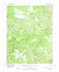
1954 Map of Fable Valley
USGS Topo · Published 1973About this map
Beef Basin and the surrounding high plateau of San Juan County appear here during a mid-century period of intensive geological and aerial study. This 1954 survey, published in cooperation with the Atomic Energy Commission, highlights a landscape where ancient and modern history intersect. Scattered ruins, cliff dwellings, and specialized archaeological sites are noted throughout Ruin Canyon and along the rim of Fable Valley.
Find a feature on this map
50 named features on this map. Tap any name to fly to it.
Don’t see what you’re looking for? This feature index may not catch every label — zoom into the map to look around manually.
Map Details
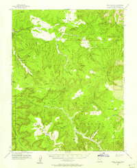
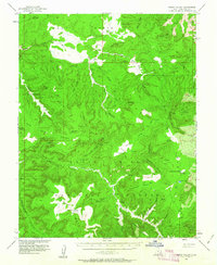
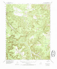
Editions of this 1954 Fable Valley Map
4 editions found
Other maps of this area

1885 · San Rafael
USGS Topo · 1:250,000

1885 · La Sal
USGS Topo · 1:250,000

1886 · Henry Mountains
USGS Topo · 1:250,000

1886 · Abajo
USGS Topo · 1:250,000

1892 · Abajo
USGS Topo · 1:250,000

1892 · Henry Mountains
USGS Topo · 1:250,000

1893 · Abajo
USGS Topo · 1:250,000

1935 · Elk Ridge
USGS Topo · 1:96,000

1940 · Elk Ridge
USGS Topo · 1:125,000

1952 · Mouth of Dark Canyon
USGS Topo · 1:62,500